Distance to Amelia, Ohio

Calculating Your Route
Just a moment while we process your request...
Location Information
-
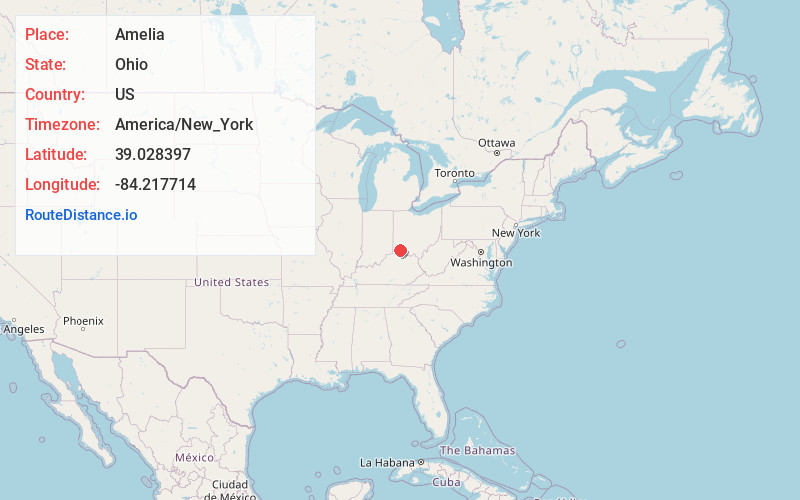
Full AddressAmelia, OH
-
Coordinates39.0283966, -84.2177136
-
LocationAmelia , Ohio , US
-
TimezoneAmerica/New_York
-
Current Local Time8:52:06 PM America/New_YorkWednesday, June 4, 2025
-
Website
-
Page Views0
About Amelia
Amelia is an unincorporated community and former village in Pierce and Batavia townships in Clermont County, Ohio, United States. The population was 12,575 at the 2020 census. Amelia incorporated in 1900. In November 2019, residents voted to dissolve the village over the imposition of a local income tax.


Nearby Places
Found 10 places within 50 miles

Fort Thomas
12.7 mi
20.4 km
Fort Thomas, KY
Get directions

Newport
15.5 mi
24.9 km
Newport, KY
Get directions

Norwood
15.8 mi
25.4 km
Norwood, OH
Get directions

Covington
16.1 mi
25.9 km
Covington, KY
Get directions

Blue Ash
16.5 mi
26.6 km
Blue Ash, OH
Get directions

Cincinnati
16.6 mi
26.7 km
Cincinnati, OH
Get directions

Loveland
16.8 mi
27.0 km
Loveland, OH 45140
Get directions

Independence
18.5 mi
29.8 km
Independence, KY
Get directions

Sharonville
19.6 mi
31.5 km
Sharonville, OH
Get directions

Erlanger
20.6 mi
33.2 km
Erlanger, KY
Get directions
Location Links
Local Weather
Weather Information
Coming soon!
Location Map
Static map view of Amelia, Ohio
Browse Places by Distance
Places within specific distances from Amelia
Short Distances
Long Distances
Click any distance to see all places within that range from Amelia. Distances shown in miles (1 mile ≈ 1.61 kilometers).