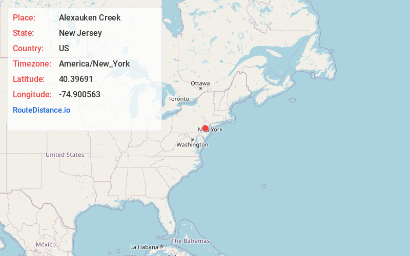
Distance to Alexauken Creek, New Jersey

Calculating Your Route
Just a moment while we process your request...
Location Information
-
Full AddressAlexauken Creek, New Jersey
-
Coordinates40.3969096, -74.9005627
-
LocationNew Jersey , US
-
TimezoneAmerica/New_York
-
Current Local Time5:26:57 AM America/New_YorkTuesday, June 17, 2025
-
Page Views0
Nearby Places
Found 10 places within 50 miles

Mt Airy
0.4 mi
0.6 km
Mt Airy, West Amwell Township, NJ 08530
Get directions

West Amwell Township
0.5 mi
0.8 km
West Amwell Township, NJ
Get directions
Bowne
1.7 mi
2.7 km
Bowne, East Amwell Township, NJ 08559
Get directions
Rocktown
2.2 mi
3.5 km
Rocktown, West Amwell Township, NJ 08530
Get directions

Lambertville
3.1 mi
5.0 km
Lambertville, NJ 08530
Get directions
Linvale
3.4 mi
5.5 km
Linvale, East Amwell Township, NJ 08530
Get directions

New Hope
3.5 mi
5.6 km
New Hope, PA 18938
Get directions
Snydertown
3.5 mi
5.6 km
Snydertown, East Amwell Township, NJ 08525
Get directions

East Amwell Township
3.7 mi
6.0 km
East Amwell Township, NJ
Get directions
Unionville
3.9 mi
6.3 km
Unionville, East Amwell Township, NJ 08551
Get directions
Location Links
Local Weather
Weather Information
Coming soon!
Location Map
Static map view of Alexauken Creek, New Jersey
Browse Places by Distance
Places within specific distances from Alexauken Creek
Short Distances
Long Distances
Click any distance to see all places within that range from Alexauken Creek. Distances shown in miles (1 mile ≈ 1.61 kilometers).