Distance to and from Alford, Florida
Alford, FL
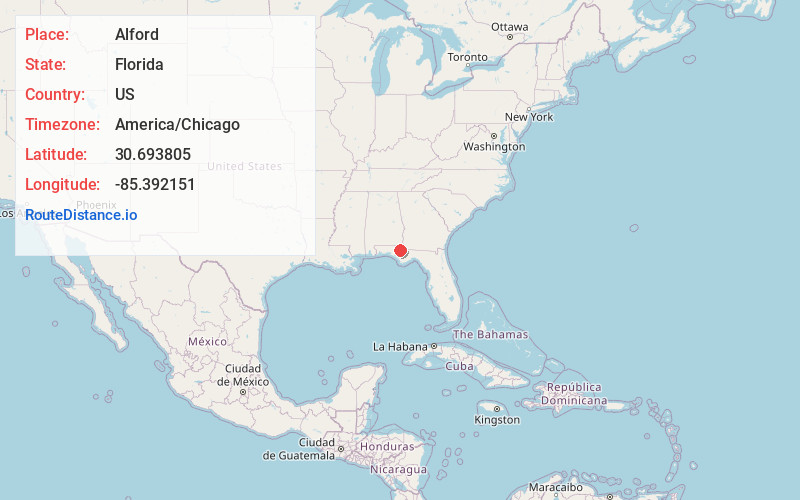
Alford
Florida
US
America/Chicago
Location Information
-
Full AddressAlford, FL
-
Coordinates30.6938049, -85.3921505
-
LocationAlford , Florida , US
-
TimezoneAmerica/Chicago
-
Current Local Time10:06:45 PM America/ChicagoFriday, May 2, 2025
-
Page Views0
Directions to Nearest Cities
About Alford
Alford is a town in Jackson County, Florida, United States. The Town of Alford is located on the Florida Panhandle near Marianna, in North Florida. The population was 484 at the 2020 census.


Nearby Places
Found 10 places within 50 miles

Cottondale
7.2 mi
11.6 km
Cottondale, FL
Get directions

Chipley
10.6 mi
17.1 km
Chipley, FL 32428
Get directions

Marianna
11.3 mi
18.2 km
Marianna, FL
Get directions

Altha
17.9 mi
28.8 km
Altha, FL 32421
Get directions

Bonifay
18.3 mi
29.5 km
Bonifay, FL 32425
Get directions

Greenwood
18.3 mi
29.5 km
Greenwood, FL 32443
Get directions

Graceville
19.6 mi
31.5 km
Graceville, FL 32440
Get directions

Vernon
19.6 mi
31.5 km
Vernon, FL 32462
Get directions

Grand Ridge
22.1 mi
35.6 km
Grand Ridge, FL 32442
Get directions
Malone
22.8 mi
36.7 km
Malone, FL 32445
Get directions
Cottondale
7.2 mi
11.6 km
Cottondale, FL
Chipley
10.6 mi
17.1 km
Chipley, FL 32428
Marianna
11.3 mi
18.2 km
Marianna, FL
Altha
17.9 mi
28.8 km
Altha, FL 32421
Bonifay
18.3 mi
29.5 km
Bonifay, FL 32425
Greenwood
18.3 mi
29.5 km
Greenwood, FL 32443
Graceville
19.6 mi
31.5 km
Graceville, FL 32440
Vernon
19.6 mi
31.5 km
Vernon, FL 32462
Grand Ridge
22.1 mi
35.6 km
Grand Ridge, FL 32442
Malone
22.8 mi
36.7 km
Malone, FL 32445
Location Links
Local Weather
Weather Information
Coming soon!
Location Map
Static map view of Alford, Florida
Browse Places by Distance
Places within specific distances from Alford
Short Distances
Long Distances
Click any distance to see all places within that range from Alford. Distances shown in miles (1 mile ≈ 1.61 kilometers).