Distance to Cottondale, Florida

Calculating Your Route
Just a moment while we process your request...
Location Information
-
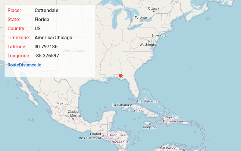
Full AddressCottondale, FL
-
Coordinates30.7971363, -85.3765965
-
LocationCottondale , Florida , US
-
TimezoneAmerica/Chicago
-
Current Local Time3:09:27 AM America/ChicagoWednesday, June 18, 2025
-
Page Views0
About Cottondale
Cottondale is a city in Jackson County, Florida, United States. It is part of the Florida Panhandle and North Florida. The population was 848 at the 2020 census, down from 933 at the 2010 census.
The City of Cottondale was one of several Florida Panhandle communities devastated by Hurricane Michael in 2018.


Nearby Places
Found 10 places within 50 miles

Marianna
9.0 mi
14.5 km
Marianna, FL
Get directions

Chipley
9.7 mi
15.6 km
Chipley, FL 32428
Get directions

Graceville
13.8 mi
22.2 km
Graceville, FL 32440
Get directions

Malone
16.9 mi
27.2 km
Malone, FL 32445
Get directions
Cottonwood
17.9 mi
28.8 km
Cottonwood, AL
Get directions

Bonifay
18.0 mi
29.0 km
Bonifay, FL 32425
Get directions
Rehobeth
23.0 mi
37.0 km
Rehobeth, AL 36301
Get directions

Slocomb
25.1 mi
40.4 km
Slocomb, AL 36375
Get directions
Malvern
25.1 mi
40.4 km
Malvern, AL
Get directions

Taylor
26.0 mi
41.8 km
Taylor, AL
Get directions
Location Links
Local Weather
Weather Information
Coming soon!
Location Map
Static map view of Cottondale, Florida
Browse Places by Distance
Places within specific distances from Cottondale
Short Distances
Long Distances
Click any distance to see all places within that range from Cottondale. Distances shown in miles (1 mile ≈ 1.61 kilometers).