Distance to Rehobeth, Alabama

Calculating Your Route
Just a moment while we process your request...
Location Information
-
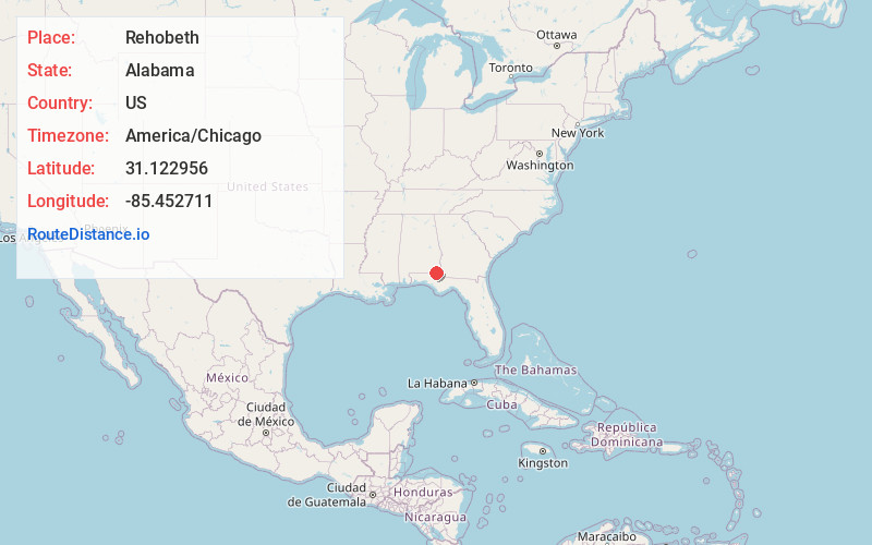
Full AddressRehobeth, AL 36301
-
Coordinates31.1229561, -85.4527113
-
LocationRehobeth , Alabama , US
-
TimezoneAmerica/Chicago
-
Current Local Time10:40:54 PM America/ChicagoThursday, June 19, 2025
-
Website
-
Page Views0
About Rehobeth
Rehobeth is a town in Houston County, Alabama, United States. Rehobeth, originally named Sanders, began as a crossroads community in the 1890s; however, it was not until 1996, that the town was incorporated. Rehobeth is part of the Dothan Metropolitan Statistical Area.
Nearby Places
Found 10 places within 50 miles

Taylor
3.0 mi
4.8 km
Taylor, AL
Get directions

Dothan
7.9 mi
12.7 km
Dothan, AL
Get directions

Cowarts
10.3 mi
16.6 km
Cowarts, AL
Get directions

Graceville
12.1 mi
19.5 km
Graceville, FL 32440
Get directions

Ashford
13.5 mi
21.7 km
Ashford, AL 36312
Get directions

Kinsey
13.7 mi
22.0 km
Kinsey, AL
Get directions

Hartford
14.5 mi
23.3 km
Hartford, AL 36344
Get directions

Headland
17.1 mi
27.5 km
Headland, AL
Get directions

Daleville
20.1 mi
32.3 km
Daleville, AL
Get directions

Malone
20.6 mi
33.2 km
Malone, FL 32445
Get directions
Location Links
Local Weather
Weather Information
Coming soon!
Location Map
Static map view of Rehobeth, Alabama
Browse Places by Distance
Places within specific distances from Rehobeth
Short Distances
Long Distances
Click any distance to see all places within that range from Rehobeth. Distances shown in miles (1 mile ≈ 1.61 kilometers).