Distance to Taylor, Alabama

Calculating Your Route
Just a moment while we process your request...
Location Information
-
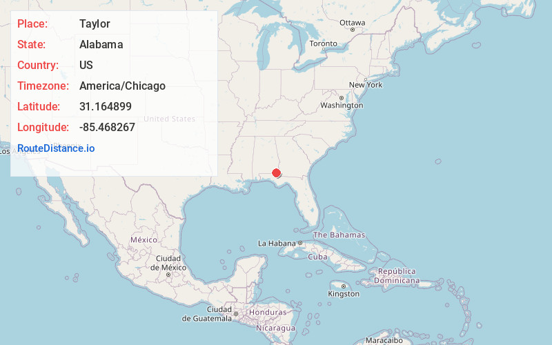
Full AddressTaylor, AL
-
Coordinates31.164899, -85.468267
-
LocationTaylor , Alabama , US
-
TimezoneAmerica/Chicago
-
Current Local Time9:20:15 AM America/ChicagoSaturday, June 21, 2025
-
Page Views0
About Taylor
Taylor is a town in Geneva and Houston counties in the U.S. state of Alabama. Taylor was first settled in the 1870s, named after an early family that helped secure the first post office. It was not incorporated until almost a century later in June 1967. It is part of the Dothan, Alabama Metropolitan Statistical Area.


Nearby Places
Found 10 places within 50 miles

Dothan
6.2 mi
10.0 km
Dothan, AL
Get directions

Headland
14.9 mi
24.0 km
Headland, AL
Get directions

Daleville
17.6 mi
28.3 km
Daleville, AL
Get directions

Fort Novosel
19.0 mi
30.6 km
Fort Novosel, AL
Get directions

Ozark
22.7 mi
36.5 km
Ozark, AL 36360
Get directions

Enterprise
25.1 mi
40.4 km
Enterprise, AL 36330
Get directions

Geneva
25.1 mi
40.4 km
Geneva, AL 36340
Get directions

Chipley
26.8 mi
43.1 km
Chipley, FL 32428
Get directions

Marianna
30.5 mi
49.1 km
Marianna, FL
Get directions

Blakely
34.8 mi
56.0 km
Blakely, GA 39823
Get directions
Location Links
Local Weather
Weather Information
Coming soon!
Location Map
Static map view of Taylor, Alabama
Browse Places by Distance
Places within specific distances from Taylor
Short Distances
Long Distances
Click any distance to see all places within that range from Taylor. Distances shown in miles (1 mile ≈ 1.61 kilometers).