Distance to and from Alfordsville, Indiana
Alfordsville, IN 47553
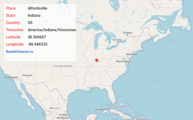
Alfordsville
Indiana
US
America/Indiana/Vincennes
Location Information
-
Full AddressAlfordsville, IN 47553
-
Coordinates38.5606067, -86.9483354
-
LocationAlfordsville , Indiana , US
-
TimezoneAmerica/Indiana/Vincennes
-
Current Local Time1:20:12 PM America/Indiana/VincennesSaturday, May 3, 2025
-
Page Views0
Directions to Nearest Cities
About Alfordsville
Alfordsville is a town in Reeve Township, Daviess County, Indiana, United States. The population was 101 at the 2010 census.
Nearby Places
Found 10 places within 50 miles

Cannelburg
8.0 mi
12.9 km
Cannelburg, IN
Get directions

Loogootee
8.3 mi
13.4 km
Loogootee, IN 47553
Get directions

Montgomery
8.8 mi
14.2 km
Montgomery, IN
Get directions

Ireland
10.4 mi
16.7 km
Ireland, IN 47546
Get directions

Otwell
10.7 mi
17.2 km
Otwell, IN 47564
Get directions

Dubois
11.1 mi
17.9 km
Dubois, IN 47527
Get directions

Shoals
11.2 mi
18.0 km
Shoals, IN 47581
Get directions

Jasper
11.7 mi
18.8 km
Jasper, IN
Get directions

Dover Hill
13.8 mi
22.2 km
Dover Hill, IN 47581
Get directions

Washington
13.9 mi
22.4 km
Washington, IN 47501
Get directions
Cannelburg
8.0 mi
12.9 km
Cannelburg, IN
Loogootee
8.3 mi
13.4 km
Loogootee, IN 47553
Montgomery
8.8 mi
14.2 km
Montgomery, IN
Ireland
10.4 mi
16.7 km
Ireland, IN 47546
Otwell
10.7 mi
17.2 km
Otwell, IN 47564
Dubois
11.1 mi
17.9 km
Dubois, IN 47527
Shoals
11.2 mi
18.0 km
Shoals, IN 47581
Jasper
11.7 mi
18.8 km
Jasper, IN
Dover Hill
13.8 mi
22.2 km
Dover Hill, IN 47581
Washington
13.9 mi
22.4 km
Washington, IN 47501
Location Links
Local Weather
Weather Information
Coming soon!
Location Map
Static map view of Alfordsville, Indiana
Browse Places by Distance
Places within specific distances from Alfordsville
Short Distances
Long Distances
Click any distance to see all places within that range from Alfordsville. Distances shown in miles (1 mile ≈ 1.61 kilometers).