Distance to Alfred, Texas

Calculating Your Route
Just a moment while we process your request...
Location Information
-
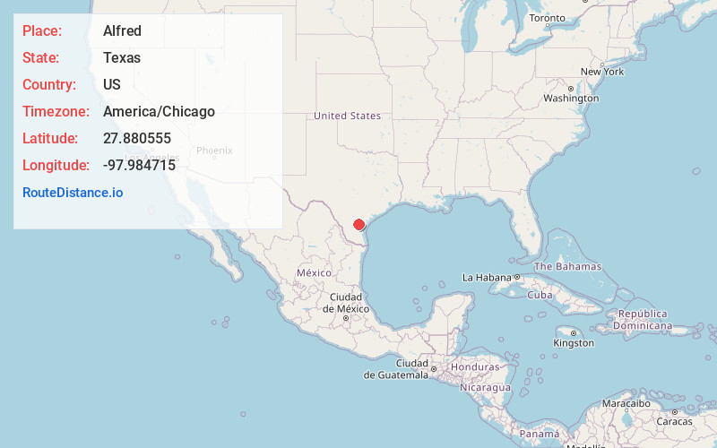
Full AddressAlfred, TX 78332
-
Coordinates27.8805548, -97.9847154
-
LocationAlfred , Texas , US
-
TimezoneAmerica/Chicago
-
Current Local Time1:01:18 AM America/ChicagoMonday, June 2, 2025
-
Page Views0
About Alfred
Alfred is an unincorporated community and census-designated place northeast of Alice in Jim Wells County, Texas, United States. Its population was 291 as of the 2010 census. It is known for the outdoor flea markets held on the first whole weekend of the month.
Nearby Places
Found 10 places within 50 miles

South La Paloma
1.5 mi
2.4 km
South La Paloma, TX 78372
Get directions

Orange Grove
6.0 mi
9.7 km
Orange Grove, TX 78372
Get directions

Agua Dulce
8.3 mi
13.4 km
Agua Dulce, TX 78330
Get directions
K-Bar Ranch
8.5 mi
13.7 km
K-Bar Ranch, TX 78372
Get directions

Alice
10.3 mi
16.6 km
Alice, TX 78332
Get directions
Sandy Hollow-Escondidas
11.1 mi
17.9 km
Sandy Hollow-Escondidas, TX
Get directions

Sandia
11.6 mi
18.7 km
Sandia, TX 78383
Get directions
Rancho Alegre
11.7 mi
18.8 km
Rancho Alegre, TX 78332
Get directions

Banquete
12.6 mi
20.3 km
Banquete, TX
Get directions
Alice Acres
13.2 mi
21.2 km
Alice Acres, TX 78332
Get directions
Location Links
Local Weather
Weather Information
Coming soon!
Location Map
Static map view of Alfred, Texas
Browse Places by Distance
Places within specific distances from Alfred
Short Distances
Long Distances
Click any distance to see all places within that range from Alfred. Distances shown in miles (1 mile ≈ 1.61 kilometers).