Distance to Alger, Michigan

Calculating Your Route
Just a moment while we process your request...
Location Information
-
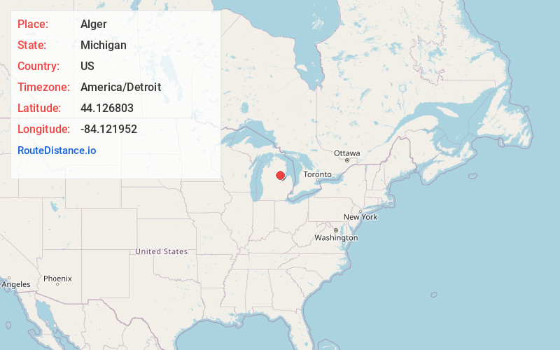
Full AddressAlger, MI 48610
-
Coordinates44.126803, -84.1219519
-
LocationAlger , Michigan , US
-
TimezoneAmerica/Detroit
-
Current Local Time7:03:01 PM America/DetroitTuesday, June 17, 2025
-
Page Views0


Nearby Places
Found 10 places within 50 miles

Hard Luck
5.2 mi
8.4 km
Hard Luck, Grim Township, MI 48610
Get directions

Skidway Lake
5.8 mi
9.3 km
Skidway Lake, MI
Get directions
Bowmanville
6.9 mi
11.1 km
Bowmanville, Grim Township, MI 48610
Get directions

Elbow Lake
7.5 mi
12.1 km
Elbow Lake, Skidway Lake, MI 48756
Get directions

Sterling
8.1 mi
13.0 km
Sterling, MI 48659
Get directions
Knights Mill
8.5 mi
13.7 km
Knights Mill, Clayton Township, MI 48659
Get directions
Prescott
10.5 mi
16.9 km
Prescott, MI 48756
Get directions

West Branch
11.8 mi
19.0 km
West Branch, MI 48661
Get directions

Standish
12.8 mi
20.6 km
Standish, MI 48658
Get directions

Omer
14.4 mi
23.2 km
Omer, MI 48749
Get directions
Location Links
Local Weather
Weather Information
Coming soon!
Location Map
Static map view of Alger, Michigan
Browse Places by Distance
Places within specific distances from Alger
Short Distances
Long Distances
Click any distance to see all places within that range from Alger. Distances shown in miles (1 mile ≈ 1.61 kilometers).