Distance to Algonac State Park, Michigan

Calculating Your Route
Just a moment while we process your request...
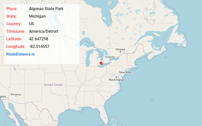
Location Information
-
Full AddressAlgonac State Park, 8732 River Rd, Marine City, MI 48039
-
Coordinates42.647298, -82.5145568
-
Street8732 River Rd
-
LocationMarine City , Michigan , US
-
TimezoneAmerica/Detroit
-
Current Local Time5:19:10 AM America/DetroitWednesday, June 18, 2025
-
Page Views1
About Algonac State Park
Park home to rare oak savannahs provides a viewing spot for river freighters & all-year camping.


Nearby Places
Found 10 places within 50 miles

Roberts Landing
0.9 mi
1.4 km
Roberts Landing, MI 48039
Get directions

Algonac
2.2 mi
3.5 km
Algonac, MI 48001
Get directions
Broadbridge Station
2.2 mi
3.5 km
Broadbridge Station, Cottrellville Township, MI 48039
Get directions

Russell Island
2.4 mi
3.9 km
Russell Island, Clay Township, MI 48001
Get directions
Cherry Beach
2.6 mi
4.2 km
Cherry Beach, Cottrellville Township, MI 48039
Get directions
Martindale Beach
3.1 mi
5.0 km
Martindale Beach, Cottrellville Township, MI 48039
Get directions

Clay Township
3.2 mi
5.1 km
Clay Township, MI
Get directions
Pointe Aux Tremble
3.4 mi
5.5 km
Pointe Aux Tremble, Pearl Beach, MI 48001
Get directions
Grande Pointe
3.7 mi
6.0 km
Grande Pointe, Clay Township, MI 48028
Get directions

Cottrellville Township
3.7 mi
6.0 km
Cottrellville Township, MI 48039
Get directions
Location Links
Local Weather
Weather Information
Coming soon!
Location Map
Static map view of Algonac State Park, Michigan
Browse Places by Distance
Places within specific distances from Algonac State Park
Short Distances
Long Distances
Click any distance to see all places within that range from Algonac State Park. Distances shown in miles (1 mile ≈ 1.61 kilometers).