Distance to Alledonia, Ohio

Calculating Your Route
Just a moment while we process your request...
Location Information
-
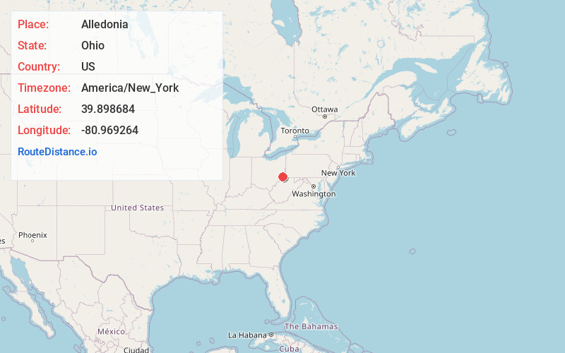
Full AddressAlledonia, OH 43902
-
Coordinates39.8986836, -80.9692639
-
LocationAlledonia , Ohio , US
-
TimezoneAmerica/New_York
-
Current Local Time7:13:38 PM America/New_YorkTuesday, June 17, 2025
-
Page Views0
About Alledonia
Alledonia is an unincorporated community in central Washington Township, Belmont County, Ohio, United States. It has a post office with the ZIP code 43902. It lies along State Route 148.
Alledonia is part of the Wheeling, WV-OH Metropolitan Statistical Area.
Nearby Places
Found 10 places within 50 miles

Crabapple
1.9 mi
3.1 km
Crabapple, Washington Township, OH 43716
Get directions
Armstrongs Mills
2.0 mi
3.2 km
Armstrongs Mills, OH
Get directions
Bingham
3.6 mi
5.8 km
Bingham, Switzerland Township, OH 43716
Get directions
Beallsville
5.0 mi
8.0 km
Beallsville, OH 43716
Get directions
Jacobsburg
5.7 mi
9.2 km
Jacobsburg, OH 43933
Get directions

Wilson
5.9 mi
9.5 km
Wilson, OH 43716
Get directions
Switzer
6.1 mi
9.8 km
Switzer, Switzerland Township, OH 43942
Get directions
Businessburg
6.7 mi
10.8 km
Businessburg, Mead Township, OH 43933
Get directions

Jerusalem
7.3 mi
11.7 km
Jerusalem, OH
Get directions
Key
7.4 mi
11.9 km
Key, Mead Township, OH 43933
Get directions
Location Links
Local Weather
Weather Information
Coming soon!
Location Map
Static map view of Alledonia, Ohio
Browse Places by Distance
Places within specific distances from Alledonia
Short Distances
Long Distances
Click any distance to see all places within that range from Alledonia. Distances shown in miles (1 mile ≈ 1.61 kilometers).