Distance to Allen, South Dakota

Calculating Your Route
Just a moment while we process your request...
Location Information
-
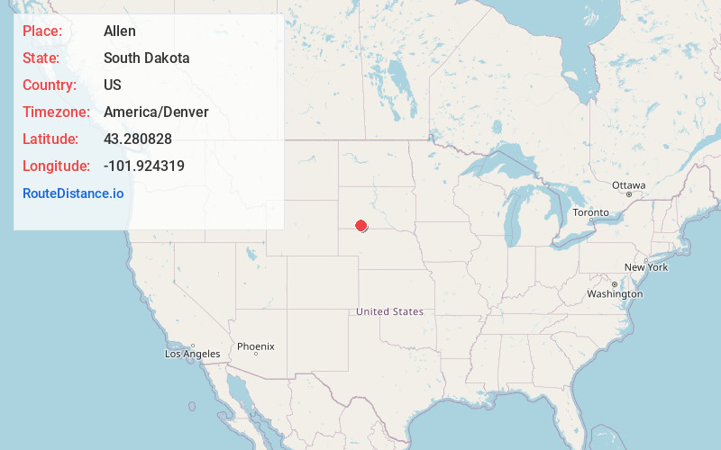
Full AddressAllen, SD 57714
-
Coordinates43.2808283, -101.9243185
-
LocationAllen , South Dakota , US
-
TimezoneAmerica/Denver
-
Current Local Time1:53:45 PM America/DenverTuesday, June 17, 2025
-
Page Views0
About Allen
Allen is a census-designated place on the Pine Ridge Indian Reservation in Bennett County, South Dakota, United States, that was named for the Allen Township, which it encompasses. As of the 2020 census, the CDP had a population of 460.


Nearby Places
Found 7 places within 50 miles

Martin
12.2 mi
19.6 km
Martin, SD 57551
Get directions

Kyle
16.1 mi
25.9 km
Kyle, SD 57752
Get directions

Porcupine
20.6 mi
33.2 km
Porcupine, SD 57772
Get directions

Gordon
35.9 mi
57.8 km
Gordon, NE 69343
Get directions

Pine Ridge
36.4 mi
58.6 km
Pine Ridge, SD 57770
Get directions

Oglala
41.5 mi
66.8 km
Oglala, SD
Get directions

Rushville
47.6 mi
76.6 km
Rushville, NE 69360
Get directions
Location Links
Local Weather
Weather Information
Coming soon!
Location Map
Static map view of Allen, South Dakota
Browse Places by Distance
Places within specific distances from Allen
Short Distances
Long Distances
Click any distance to see all places within that range from Allen. Distances shown in miles (1 mile ≈ 1.61 kilometers).