Distance to and from Allenspark, Colorado
Allenspark, CO
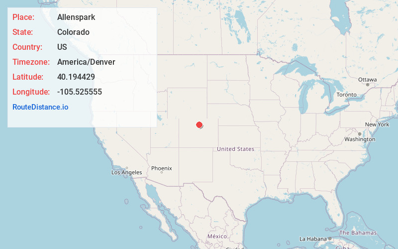
Allenspark
Colorado
US
America/Denver
Location Information
-
Full AddressAllenspark, CO
-
Coordinates40.1944294, -105.5255549
-
LocationAllenspark , Colorado , US
-
TimezoneAmerica/Denver
-
Current Local Time2:32:50 PM America/DenverSaturday, May 3, 2025
-
Page Views0
Directions to Nearest Cities
About Allenspark
Allenspark is an unincorporated town, a post office, and a census-designated place located in and governed by Boulder County, Colorado, United States. The CDP is a part of the Boulder, CO Metropolitan Statistical Area. The Allenspark post office has the ZIP code 80510.


Nearby Places
Found 10 places within 50 miles

Lazy Acres
12.4 mi
20.0 km
Lazy Acres, CO 80302
Get directions

Estes Park
12.6 mi
20.3 km
Estes Park, CO 80517
Get directions

Lyons
13.6 mi
21.9 km
Lyons, CO
Get directions

Nederland
16.1 mi
25.9 km
Nederland, CO 80466
Get directions

Boulder
18.0 mi
29.0 km
Boulder, CO
Get directions

Niwot
19.8 mi
31.9 km
Niwot, CO 80503
Get directions

Gunbarrel
21.1 mi
34.0 km
Gunbarrel, CO
Get directions

Coal Creek
21.6 mi
34.8 km
Coal Creek, CO 80403
Get directions

Tabernash
21.8 mi
35.1 km
Tabernash, CO 80478
Get directions

Longmont
22.4 mi
36.0 km
Longmont, CO
Get directions
Lazy Acres
12.4 mi
20.0 km
Lazy Acres, CO 80302
Estes Park
12.6 mi
20.3 km
Estes Park, CO 80517
Lyons
13.6 mi
21.9 km
Lyons, CO
Nederland
16.1 mi
25.9 km
Nederland, CO 80466
Boulder
18.0 mi
29.0 km
Boulder, CO
Niwot
19.8 mi
31.9 km
Niwot, CO 80503
Gunbarrel
21.1 mi
34.0 km
Gunbarrel, CO
Coal Creek
21.6 mi
34.8 km
Coal Creek, CO 80403
Tabernash
21.8 mi
35.1 km
Tabernash, CO 80478
Longmont
22.4 mi
36.0 km
Longmont, CO
Location Links
Local Weather
Weather Information
Coming soon!
Location Map
Static map view of Allenspark, Colorado
Browse Places by Distance
Places within specific distances from Allenspark
Short Distances
Long Distances
Click any distance to see all places within that range from Allenspark. Distances shown in miles (1 mile ≈ 1.61 kilometers).