Distance to Coal Creek, Colorado

Calculating Your Route
Just a moment while we process your request...
Location Information
-
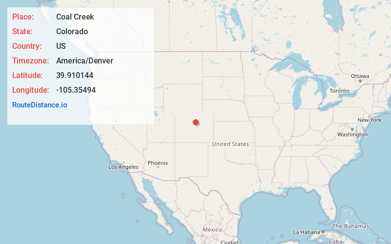
Full AddressCoal Creek, CO 80403
-
Coordinates39.910144, -105.3549395
-
LocationCoal Creek , Colorado , US
-
TimezoneAmerica/Denver
-
Current Local Time5:28:36 AM America/DenverMonday, June 30, 2025
-
Page Views0
About Coal Creek
Coal Creek, commonly known as Coal Creek Canyon, is a census-designated place located in and governed by Jefferson, Boulder, and Gilpin counties in Colorado, United States, but primarily Jefferson County. The population of the Coal Creek CDP was 2,494 at the United States Census 2020.


Nearby Places
Found 10 places within 50 miles

Boulder
8.6 mi
13.8 km
Boulder, CO
Get directions

Superior
10.3 mi
16.6 km
Superior, CO
Get directions

Louisville
12.7 mi
20.4 km
Louisville, CO
Get directions

Golden
12.8 mi
20.6 km
Golden, CO
Get directions

Broomfield
14.2 mi
22.9 km
Broomfield, CO
Get directions

Gunbarrel
14.4 mi
23.2 km
Gunbarrel, CO
Get directions

Lafayette
15.2 mi
24.5 km
Lafayette, CO
Get directions

West Pleasant View
15.4 mi
24.8 km
West Pleasant View, CO 80401
Get directions

Genesee
15.9 mi
25.6 km
Genesee, CO
Get directions

Arvada
16.0 mi
25.7 km
Arvada, CO
Get directions
Location Links
Local Weather
Weather Information
Coming soon!
Location Map
Static map view of Coal Creek, Colorado
Browse Places by Distance
Places within specific distances from Coal Creek
Short Distances
Long Distances
Click any distance to see all places within that range from Coal Creek. Distances shown in miles (1 mile ≈ 1.61 kilometers).