Distance to Allentown, Georgia

Calculating Your Route
Just a moment while we process your request...
Location Information
-
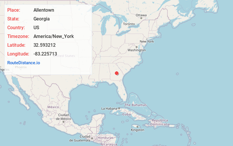
Full AddressAllentown, GA
-
Coordinates32.5932119, -83.2257127
-
LocationAllentown , Georgia , US
-
TimezoneAmerica/New_York
-
Current Local Time10:28:08 PM America/New_YorkTuesday, June 17, 2025
-
Page Views0
About Allentown
Allentown is a city in Bleckley, Laurens, Twiggs, and Wilkinson counties in the U.S. state of Georgia, primarily in Wilkinson County. As of the 2010 census, the city had a population of 169, down from 287 at the 2000 census. In 2020, its population was 195.
Nearby Places
Found 10 places within 50 miles

Montrose
4.8 mi
7.7 km
Montrose, GA 31065
Get directions

Jeffersonville
9.6 mi
15.4 km
Jeffersonville, GA 31044
Get directions

Dudley
9.7 mi
15.6 km
Dudley, GA
Get directions
Chester
14.4 mi
23.2 km
Chester, GA 31012
Get directions
Dexter
14.7 mi
23.7 km
Dexter, GA 31019
Get directions

Irwinton
15.4 mi
24.8 km
Irwinton, GA
Get directions

Cochran
16.1 mi
25.9 km
Cochran, GA 31014
Get directions

McIntyre
17.6 mi
28.3 km
McIntyre, GA 31054
Get directions
Empire
17.9 mi
28.8 km
Empire, GA 31014
Get directions
Toomsboro
18.2 mi
29.3 km
Toomsboro, GA
Get directions
Location Links
Local Weather
Weather Information
Coming soon!
Location Map
Static map view of Allentown, Georgia
Browse Places by Distance
Places within specific distances from Allentown
Short Distances
Long Distances
Click any distance to see all places within that range from Allentown. Distances shown in miles (1 mile ≈ 1.61 kilometers).