Distance to Empire, Georgia

Calculating Your Route
Just a moment while we process your request...
Location Information
-
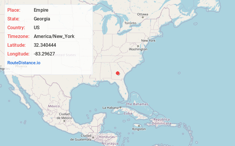
Full AddressEmpire, GA 31014
-
Coordinates32.3404437, -83.2962703
-
LocationEmpire , Georgia , US
-
TimezoneAmerica/New_York
-
Current Local Time1:25:50 PM America/New_YorkTuesday, June 3, 2025
-
Page Views0
About Empire
Empire is an unincorporated community and census-designated place in Bleckley and Dodge counties in the U.S. state of Georgia. As of the 2020 census, the CDP had a population of 319.
Nearby Places
Found 10 places within 50 miles

Cochran
4.7 mi
7.6 km
Cochran, GA 31014
Get directions

Chester
9.1 mi
14.6 km
Chester, GA 31012
Get directions

Hawkinsville
11.0 mi
17.7 km
Hawkinsville, GA 31036
Get directions

Eastman
12.1 mi
19.5 km
Eastman, GA 31023
Get directions
Cadwell
14.8 mi
23.8 km
Cadwell, GA 31009
Get directions
Dexter
15.1 mi
24.3 km
Dexter, GA 31019
Get directions
Dudley
19.2 mi
30.9 km
Dudley, GA
Get directions
Pineview
19.9 mi
32.0 km
Pineview, GA 31071
Get directions

Abbeville
24.1 mi
38.8 km
Abbeville, GA 31001
Get directions

Jeffersonville
24.2 mi
38.9 km
Jeffersonville, GA 31044
Get directions
Location Links
Local Weather
Weather Information
Coming soon!
Location Map
Static map view of Empire, Georgia
Browse Places by Distance
Places within specific distances from Empire
Short Distances
Long Distances
Click any distance to see all places within that range from Empire. Distances shown in miles (1 mile ≈ 1.61 kilometers).