Distance to Hawkinsville, Georgia

Calculating Your Route
Just a moment while we process your request...
Location Information
-
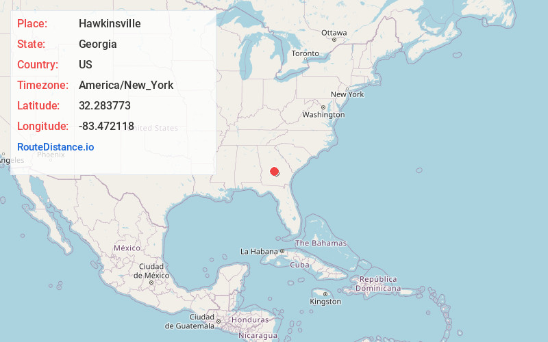
Full AddressHawkinsville, GA 31036
-
Coordinates32.2837731, -83.4721177
-
LocationHawkinsville , Georgia , US
-
TimezoneAmerica/New_York
-
Current Local Time4:23:45 PM America/New_YorkSunday, June 1, 2025
-
Page Views0
About Hawkinsville
Hawkinsville is a city in Middle Georgia and the county seat of Pulaski County, Georgia, United States. As of 2020, it has a population of 3,980.
The city is known as the "Harness Horse Capital of Georgia" and holds an annual Harness Horse Festival to celebrate its connections to the sport.


Nearby Places
Found 10 places within 50 miles

Cochran
9.9 mi
15.9 km
Cochran, GA 31014
Get directions

Eastman
18.2 mi
29.3 km
Eastman, GA 31023
Get directions

Perry
19.4 mi
31.2 km
Perry, GA
Get directions

Warner Robins
24.4 mi
39.3 km
Warner Robins, GA
Get directions

Centerville
27.1 mi
43.6 km
Centerville, GA
Get directions

Cordele
28.6 mi
46.0 km
Cordele, GA 31015
Get directions

Byron
30.6 mi
49.2 km
Byron, GA 31008
Get directions

Fort Valley
30.6 mi
49.2 km
Fort Valley, GA
Get directions

Dublin
37.6 mi
60.5 km
Dublin, GA 31021
Get directions

Macon
39.3 mi
63.2 km
Macon, GA
Get directions
Location Links
Local Weather
Weather Information
Coming soon!
Location Map
Static map view of Hawkinsville, Georgia
Browse Places by Distance
Places within specific distances from Hawkinsville
Short Distances
Long Distances
Click any distance to see all places within that range from Hawkinsville. Distances shown in miles (1 mile ≈ 1.61 kilometers).