Distance to Fort Valley, Georgia

Calculating Your Route
Just a moment while we process your request...
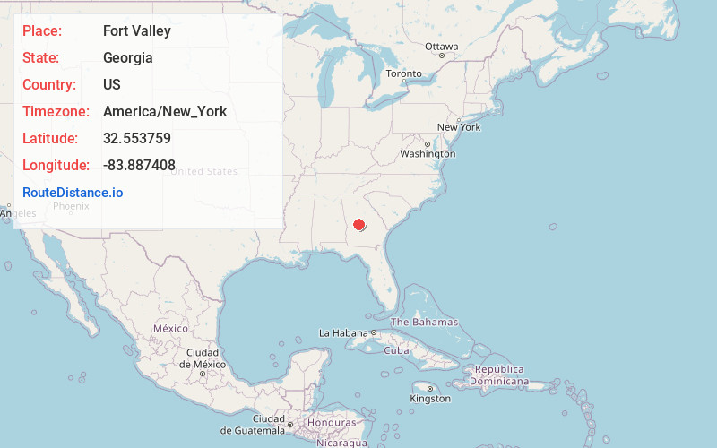
Location Information
-
Full AddressFort Valley, GA
-
Coordinates32.5537585, -83.8874084
-
LocationFort Valley , Georgia , US
-
TimezoneAmerica/New_York
-
Current Local Time3:36:39 PM America/New_YorkFriday, June 13, 2025
-
Page Views0
About Fort Valley
Fort Valley is a city in and the county seat of Peach County, Georgia, United States. As of the 2020 census, the city had a population of 8,780.
The city is in the Warner Robins metropolitan area and the Macon–Warner Robins combined statistical area.


Nearby Places
Found 6 places within 50 miles

Perry
11.2 mi
18.0 km
Perry, GA
Get directions

Warner Robins
15.9 mi
25.6 km
Warner Robins, GA
Get directions

Macon
24.5 mi
39.4 km
Macon, GA
Get directions

Thomaston
34.4 mi
55.4 km
Thomaston, GA 30286
Get directions

Americus
38.9 mi
62.6 km
Americus, GA
Get directions

Cordele
41.2 mi
66.3 km
Cordele, GA 31015
Get directions
Location Links
Local Weather
Weather Information
Coming soon!
Location Map
Static map view of Fort Valley, Georgia
Browse Places by Distance
Places within specific distances from Fort Valley
Short Distances
Long Distances
Click any distance to see all places within that range from Fort Valley. Distances shown in miles (1 mile ≈ 1.61 kilometers).