Distance to Alliance, Indiana

Calculating Your Route
Just a moment while we process your request...
Location Information
-
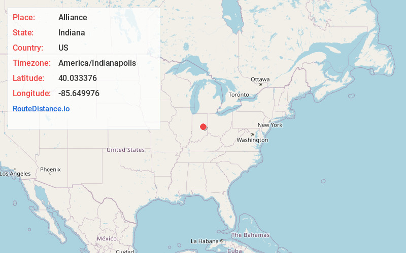
Full AddressAlliance, IN 46013
-
Coordinates40.0333763, -85.6499762
-
LocationAlliance , Indiana , US
-
TimezoneAmerica/Indianapolis
-
Page Views0
About Alliance
Alliance is an unincorporated community in Adams Township, Madison County, Indiana.
Alliance was a station and shipping point on the Big Four Railroad.
Nearby Places
Found 10 places within 50 miles

New Columbus
1.0 mi
1.6 km
New Columbus, Adams Township, IN 46013
Get directions
Gridley
3.8 mi
6.1 km
Gridley, Anderson, IN 46016
Get directions
Markleville
4.3 mi
6.9 km
Markleville, IN 46056
Get directions

Anderson
5.2 mi
8.4 km
Anderson, IN
Get directions

Pendleton
5.5 mi
8.9 km
Pendleton, IN
Get directions

Middletown
6.2 mi
10.0 km
Middletown, IN 47356
Get directions

Chesterfield
6.2 mi
10.0 km
Chesterfield, IN
Get directions
Country Club Heights
6.3 mi
10.1 km
Country Club Heights, IN 46011
Get directions
Woodlawn Heights
6.4 mi
10.3 km
Woodlawn Heights, IN 46011
Get directions
Edgewood
6.5 mi
10.5 km
Edgewood, IN 46011
Get directions
Location Links
Local Weather
Weather Information
Coming soon!
Location Map
Static map view of Alliance, Indiana
Browse Places by Distance
Places within specific distances from Alliance
Short Distances
Long Distances
Click any distance to see all places within that range from Alliance. Distances shown in miles (1 mile ≈ 1.61 kilometers).