Distance to Chesterfield, Indiana

Calculating Your Route
Just a moment while we process your request...
Location Information
-
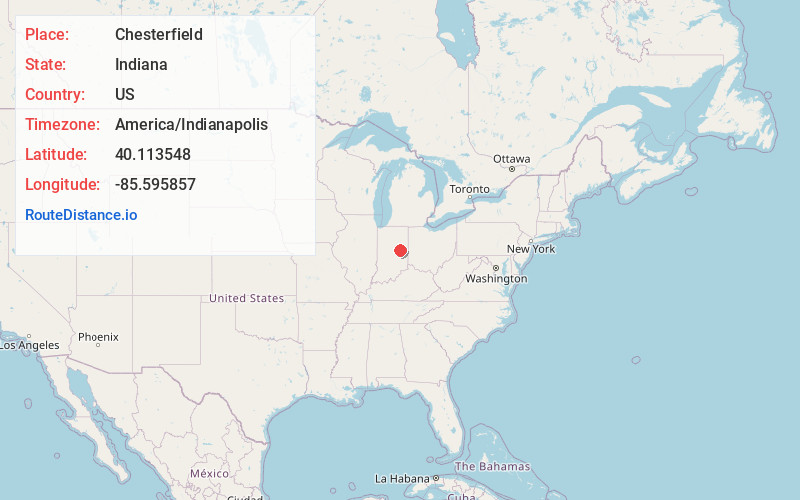
Full AddressChesterfield, IN
-
Coordinates40.1135481, -85.5958573
-
LocationChesterfield , Indiana , US
-
TimezoneAmerica/Indianapolis
-
Website
-
Page Views0
About Chesterfield
Chesterfield is a town in the U.S. state of Indiana which lies in Union Township, Madison County, and Salem Township, Delaware County. The population was 2,490 at the 2020 census. It is part of the Indianapolis–Carmel–Anderson metropolitan statistical area.


Nearby Places
Found 10 places within 50 miles

Anderson
4.4 mi
7.1 km
Anderson, IN
Get directions

Yorktown
7.6 mi
12.2 km
Yorktown, IN
Get directions

Pendleton
11.0 mi
17.7 km
Pendleton, IN
Get directions

Alexandria
11.1 mi
17.9 km
Alexandria, IN 46001
Get directions

Muncie
12.3 mi
19.8 km
Muncie, IN
Get directions

Elwood
17.2 mi
27.7 km
Elwood, IN 46036
Get directions

New Castle
17.5 mi
28.2 km
New Castle, IN 47362
Get directions

Fortville
18.3 mi
29.5 km
Fortville, IN
Get directions

Fairmount
21.0 mi
33.8 km
Fairmount, IN 46928
Get directions

Cicero
22.1 mi
35.6 km
Cicero, IN
Get directions
Location Links
Local Weather
Weather Information
Coming soon!
Location Map
Static map view of Chesterfield, Indiana
Browse Places by Distance
Places within specific distances from Chesterfield
Short Distances
Long Distances
Click any distance to see all places within that range from Chesterfield. Distances shown in miles (1 mile ≈ 1.61 kilometers).