Distance to Alligator Point, Florida

Calculating Your Route
Just a moment while we process your request...
Location Information
-
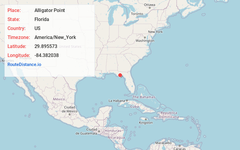
Full AddressAlligator Point, FL 32346
-
Coordinates29.8955733, -84.3820381
-
LocationAlligator Point , Florida , US
-
TimezoneAmerica/New_York
-
Current Local Time8:36:40 PM America/New_YorkTuesday, June 17, 2025
-
Page Views0
About Alligator Point
Alligator Point is an unincorporated community on St. James Island in Franklin County, Florida, United States. It is located along U.S. 98, south of Bald Point State Park, along the Gulf of Mexico. Alligator Point is a small beach community made up of mostly beach homes and the Alligator Point Yacht Basin.


Nearby Places
Found 10 places within 50 miles

Bald Point
4.3 mi
6.9 km
Bald Point, FL 32346
Get directions

St Teresa
5.0 mi
8.0 km
St Teresa, FL 32346
Get directions

Ochlockonee Bay
6.6 mi
10.6 km
Ochlockonee Bay, FL 32346
Get directions

Panacea
9.3 mi
15.0 km
Panacea, FL 32346
Get directions

McIntyre
10.5 mi
16.9 km
McIntyre, FL 32358
Get directions
Skipper
10.6 mi
17.1 km
Skipper, FL 32346
Get directions
Curtis Mill
11.6 mi
18.7 km
Curtis Mill, FL 32358
Get directions
Buckhorn
12.6 mi
20.3 km
Buckhorn, FL 32358
Get directions
Lanark Village
12.8 mi
20.6 km
Lanark Village, FL 32322
Get directions

Medart
12.9 mi
20.8 km
Medart, FL 32327
Get directions
Location Links
Local Weather
Weather Information
Coming soon!
Location Map
Static map view of Alligator Point, Florida
Browse Places by Distance
Places within specific distances from Alligator Point
Short Distances
Long Distances
Click any distance to see all places within that range from Alligator Point. Distances shown in miles (1 mile ≈ 1.61 kilometers).