Distance to Ochlockonee Bay, Florida

Calculating Your Route
Just a moment while we process your request...
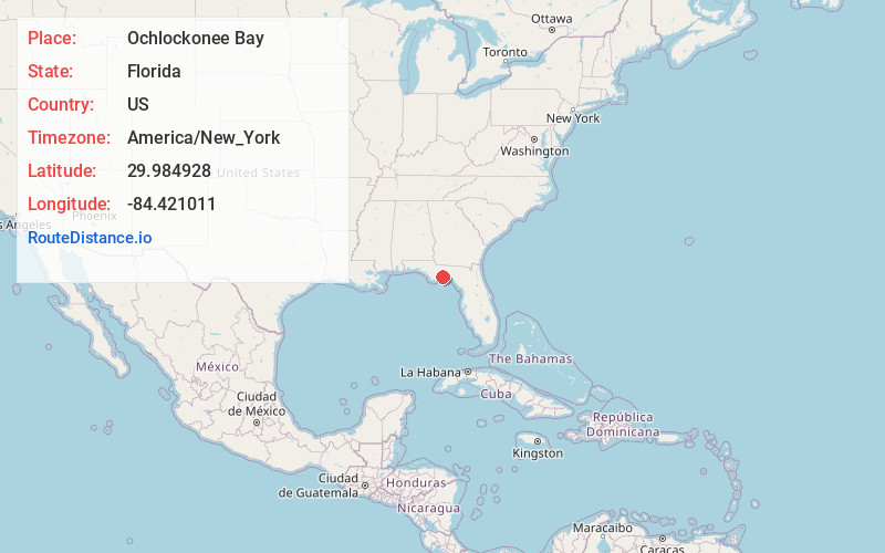
Location Information
-
Full AddressOchlockonee Bay, FL 32346
-
Coordinates29.9849275, -84.4210106
-
LocationOchlockonee Bay , Florida , US
-
TimezoneAmerica/New_York
-
Current Local Time11:22:34 PM America/New_YorkTuesday, June 17, 2025
-
Page Views0
About Ochlockonee Bay
Ochlockonee Bay is an unincorporated community in Wakulla County, Florida, United States, located at the intersection of U.S. Highway 98 and County Road 372, south of Panacea. Situated on the north shore of Ochlockonee Bay, it is also recognized by the U.S. Postal Service as Ochlockonee.


Nearby Places
Found 10 places within 50 miles

Panacea
3.3 mi
5.3 km
Panacea, FL 32346
Get directions

St Teresa
4.1 mi
6.6 km
St Teresa, FL 32346
Get directions

Sopchoppy
6.6 mi
10.6 km
Sopchoppy, FL 32358
Get directions

Crawfordville
14.8 mi
23.8 km
Crawfordville, FL 32327
Get directions

Carrabelle
17.2 mi
27.7 km
Carrabelle, FL 32322
Get directions

St Marks
17.7 mi
28.5 km
St Marks, FL
Get directions

Woodville
25.0 mi
40.2 km
Woodville, FL 32305
Get directions

Fort Braden
31.0 mi
49.9 km
Fort Braden, FL
Get directions
Holland
31.3 mi
50.4 km
Holland, Fort Braden, FL 32310
Get directions
Fort Gadsden Creek
31.6 mi
50.9 km
Fort Gadsden Creek, Florida 32328
Get directions
Location Links
Local Weather
Weather Information
Coming soon!
Location Map
Static map view of Ochlockonee Bay, Florida
Browse Places by Distance
Places within specific distances from Ochlockonee Bay
Short Distances
Long Distances
Click any distance to see all places within that range from Ochlockonee Bay. Distances shown in miles (1 mile ≈ 1.61 kilometers).