Distance to Alligator River, North Carolina

Calculating Your Route
Just a moment while we process your request...
Location Information
-
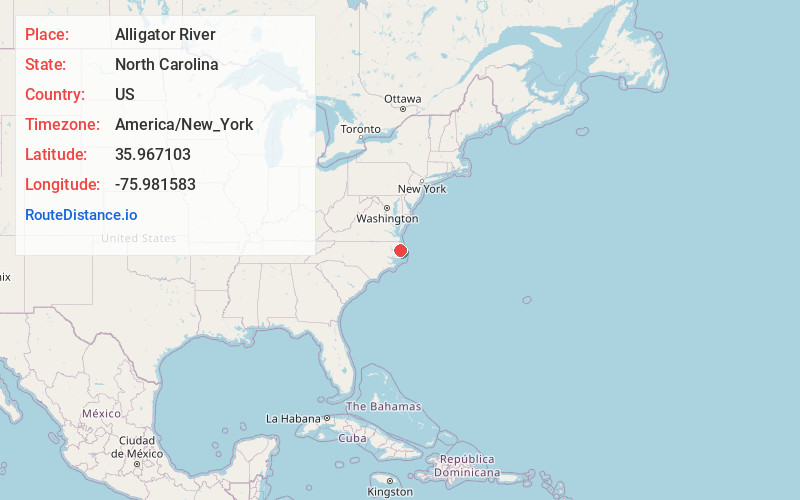
Full AddressAlligator River, North Carolina
-
Coordinates35.9671031, -75.9815827
-
LocationNorth Carolina , US
-
TimezoneAmerica/New_York
-
Current Local Time1:05:46 AM America/New_YorkWednesday, June 18, 2025
-
Page Views0


Nearby Places
Found 10 places within 50 miles

Fort Landing
4.9 mi
7.9 km
Fort Landing, NC 27925
Get directions
Lewis Point
5.2 mi
8.4 km
Lewis Point, NC 27925
Get directions

East Lake
5.3 mi
8.5 km
East Lake, NC 27953
Get directions
Goat Neck
5.4 mi
8.7 km
Goat Neck, NC 27925
Get directions
Lake Neighborhood
6.3 mi
10.1 km
Lake Neighborhood, NC 27953
Get directions
Newfoundland
8.4 mi
13.5 km
Newfoundland, NC 27925
Get directions
Buffalo City
9.3 mi
15.0 km
Buffalo City, NC 27953
Get directions
Mashoes
10.0 mi
16.1 km
Mashoes, NC 27953
Get directions
Mills Ridge
11.3 mi
18.2 km
Mills Ridge, NC 27925
Get directions
Dillion Ridge
11.5 mi
18.5 km
Dillion Ridge, NC 27925
Get directions
Location Links
Local Weather
Weather Information
Coming soon!
Location Map
Static map view of Alligator River, North Carolina
Browse Places by Distance
Places within specific distances from Alligator River
Short Distances
Long Distances
Click any distance to see all places within that range from Alligator River. Distances shown in miles (1 mile ≈ 1.61 kilometers).