Distance to Fort Landing, North Carolina

Calculating Your Route
Just a moment while we process your request...
Location Information
-
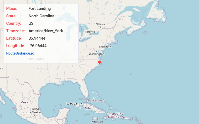
Full AddressFort Landing, NC 27925
-
Coordinates35.94444, -76.06444
-
LocationFort Landing , North Carolina , US
-
TimezoneAmerica/New_York
-
Current Local Time3:34:48 PM America/New_YorkTuesday, June 17, 2025
-
Page Views0
About Fort Landing
Fort Landing is an unincorporated community in Tyrrell County, North Carolina, United States. The community is located on the western banks of the Little Alligator River/East Lake; 13 miles east of Columbia. From 1932 to 1951, Fort Landing was the eastern terminus of US 64.
Nearby Places
Found 10 places within 50 miles

Goat Neck
1.9 mi
3.1 km
Goat Neck, NC 27925
Get directions

Frying Pan
10.0 mi
16.1 km
Frying Pan, NC 27925
Get directions
Jerry
10.1 mi
16.3 km
Jerry, NC 27925
Get directions

Columbia
10.7 mi
17.2 km
Columbia, NC 27925
Get directions
Scuppernong River
15.5 mi
24.9 km
Scuppernong River, North Carolina
Get directions
Manns Harbor
17.4 mi
28.0 km
Manns Harbor, NC 27953
Get directions

Harbinger
17.7 mi
28.5 km
Harbinger, NC 27941
Get directions
Winslow
17.9 mi
28.8 km
Winslow, NC 27909
Get directions
Mamie
17.9 mi
28.8 km
Mamie, NC 27966
Get directions
Spot
18.2 mi
29.3 km
Spot, NC 27941
Get directions
Location Links
Local Weather
Weather Information
Coming soon!
Location Map
Static map view of Fort Landing, North Carolina
Browse Places by Distance
Places within specific distances from Fort Landing
Short Distances
Long Distances
Click any distance to see all places within that range from Fort Landing. Distances shown in miles (1 mile ≈ 1.61 kilometers).