Distance to and from Alligoods, North Carolina
Alligoods, NC 27889
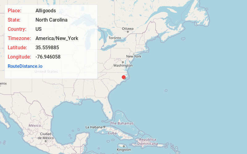
Alligoods
North Carolina
US
America/New_York
Location Information
-
Full AddressAlligoods, NC 27889
-
Coordinates35.5598853, -76.9460582
-
LocationAlligoods , North Carolina , US
-
TimezoneAmerica/New_York
-
Current Local Time11:09:05 PM America/New_YorkFriday, May 2, 2025
-
Page Views0
Directions to Nearest Cities
Nearby Places
Found 10 places within 50 miles

Slatestone
1.6 mi
2.6 km
Slatestone, NC 27889
Get directions
Douglas Crossroads
2.2 mi
3.5 km
Douglas Crossroads, NC 27889
Get directions
Bunyan
2.2 mi
3.5 km
Bunyan, NC 27889
Get directions
Pineygrove Branch
3.3 mi
5.3 km
Pineygrove Branch, North Carolina 27889
Get directions
Walla Watta
4.4 mi
7.1 km
Walla Watta, NC 27865
Get directions
River Rd
4.4 mi
7.1 km
River Rd, NC 27889
Get directions
Hootentown
4.4 mi
7.1 km
Hootentown, NC 27889
Get directions
River Acres
5.0 mi
8.0 km
River Acres, River Rd, NC 27889
Get directions
Shady Banks
5.1 mi
8.2 km
Shady Banks, River Rd, NC 27889
Get directions
Boyds Fork
5.7 mi
9.2 km
Boyds Fork, NC 27865
Get directions
Slatestone
1.6 mi
2.6 km
Slatestone, NC 27889
Douglas Crossroads
2.2 mi
3.5 km
Douglas Crossroads, NC 27889
Bunyan
2.2 mi
3.5 km
Bunyan, NC 27889
Pineygrove Branch
3.3 mi
5.3 km
Pineygrove Branch, North Carolina 27889
Walla Watta
4.4 mi
7.1 km
Walla Watta, NC 27865
River Rd
4.4 mi
7.1 km
River Rd, NC 27889
Hootentown
4.4 mi
7.1 km
Hootentown, NC 27889
River Acres
5.0 mi
8.0 km
River Acres, River Rd, NC 27889
Shady Banks
5.1 mi
8.2 km
Shady Banks, River Rd, NC 27889
Boyds Fork
5.7 mi
9.2 km
Boyds Fork, NC 27865
Location Links
Local Weather
Weather Information
Coming soon!
Location Map
Static map view of Alligoods, North Carolina
Browse Places by Distance
Places within specific distances from Alligoods
Short Distances
Long Distances
Click any distance to see all places within that range from Alligoods. Distances shown in miles (1 mile ≈ 1.61 kilometers).