Distance to Alloy, West Virginia

Calculating Your Route
Just a moment while we process your request...
Location Information
-
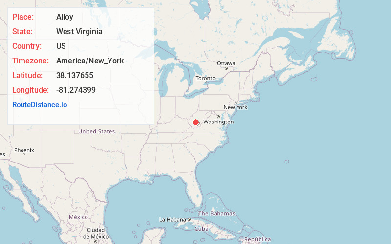
Full AddressAlloy, Falls View, WV 25139
-
Coordinates38.1376549, -81.2743989
-
NeighborhoodAlloy
-
LocationFalls View , West Virginia , US
-
TimezoneAmerica/New_York
-
Current Local Time5:23:00 AM America/New_YorkWednesday, June 18, 2025
-
Page Views0
About Alloy
Alloy is an unincorporated community in Fayette County, West Virginia, United States. Alloy is located along the Kanawha River and U.S. Route 60, 5 miles southwest of Gauley Bridge. Alloy was originally known as Boncar until the mid-1930s.
Nearby Places
Found 10 places within 50 miles

Mt Carbon
0.9 mi
1.4 km
Mt Carbon, WV
Get directions
Deep Water
0.9 mi
1.4 km
Deep Water, WV 25139
Get directions

Boomer
1.1 mi
1.8 km
Boomer, WV
Get directions

Falls View
1.5 mi
2.4 km
Falls View, WV 25139
Get directions
Kimberly
1.5 mi
2.4 km
Kimberly, WV
Get directions
Eagle
2.2 mi
3.5 km
Eagle, WV 25136
Get directions
Charlton Heights
2.4 mi
3.9 km
Charlton Heights, WV 25115
Get directions
Oakland
3.0 mi
4.8 km
Oakland, Smithers, WV 25186
Get directions
Robson
3.0 mi
4.8 km
Robson, WV 25173
Get directions
Crescent
3.1 mi
5.0 km
Crescent, Montgomery, WV 25136
Get directions
Location Links
Local Weather
Weather Information
Coming soon!
Location Map
Static map view of Alloy, West Virginia
Browse Places by Distance
Places within specific distances from Alloy
Short Distances
Long Distances
Click any distance to see all places within that range from Alloy. Distances shown in miles (1 mile ≈ 1.61 kilometers).