Distance to Falls View, West Virginia

Calculating Your Route
Just a moment while we process your request...
Location Information
-
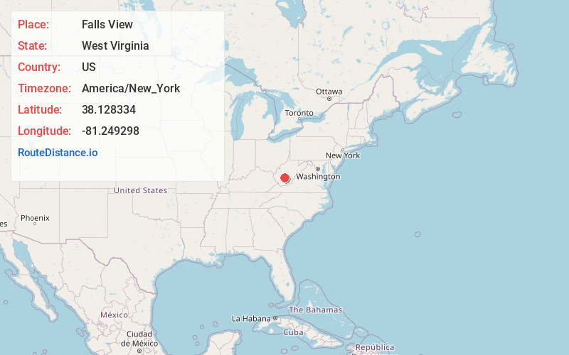
Full AddressFalls View, WV 25139
-
Coordinates38.128334, -81.249298
-
LocationFalls View , West Virginia , US
-
TimezoneAmerica/New_York
-
Current Local Time1:16:25 AM America/New_YorkWednesday, June 25, 2025
-
Page Views0
About Falls View
Falls View is a census-designated place in Fayette County, West Virginia, United States. Falls View is located 4 miles southwest of Gauley Bridge, on the north bank of the Kanawha River. As of the 2010 census, its population was 238.

Nearby Places
Found 10 places within 50 miles

Charlton Heights
0.9 mi
1.4 km
Charlton Heights, WV 25115
Get directions

Boomer
2.6 mi
4.2 km
Boomer, WV
Get directions
Kimberly
2.9 mi
4.7 km
Kimberly, WV
Get directions

Gauley Bridge
4.1 mi
6.6 km
Gauley Bridge, WV 25085
Get directions
Powellton
4.5 mi
7.2 km
Powellton, WV
Get directions

Smithers
4.8 mi
7.7 km
Smithers, WV
Get directions

Montgomery
5.6 mi
9.0 km
Montgomery, WV 25136
Get directions

Handley
7.5 mi
12.1 km
Handley, WV
Get directions

Ansted
8.2 mi
13.2 km
Ansted, WV 25812
Get directions

Pratt
9.2 mi
14.8 km
Pratt, WV
Get directions
Location Links
Local Weather
Weather Information
Coming soon!
Location Map
Static map view of Falls View, West Virginia
Browse Places by Distance
Places within specific distances from Falls View
Short Distances
Long Distances
Click any distance to see all places within that range from Falls View. Distances shown in miles (1 mile ≈ 1.61 kilometers).