Distance to Alma, Virginia

Calculating Your Route
Just a moment while we process your request...
Location Information
-
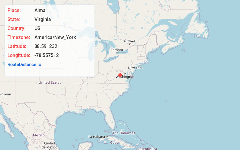
Full AddressAlma, VA 22851
-
Coordinates38.5912324, -78.5575118
-
LocationAlma , Virginia , US
-
TimezoneAmerica/New_York
-
Current Local Time12:28:29 PM America/New_YorkTuesday, June 24, 2025
-
Page Views0
About Alma
Alma is an unincorporated community in Page County, in the U.S. state of Virginia. The community is said to have been named, in the mid-1850s, by local doctor James Lee Gillespie.
Nearby Places
Found 10 places within 50 miles

Honeyville
0.9 mi
1.4 km
Honeyville, VA 22851
Get directions

Stanley
3.2 mi
5.1 km
Stanley, VA 22851
Get directions

Page County
3.3 mi
5.3 km
Page County, VA
Get directions
Marksville
4.4 mi
7.1 km
Marksville, VA 22851
Get directions

Catherine Furnace
4.8 mi
7.7 km
Catherine Furnace, VA 22849
Get directions
Pine Grove
5.7 mi
9.2 km
Pine Grove, VA 22851
Get directions

New Market
7.3 mi
11.7 km
New Market, VA 22844
Get directions

Luray
7.4 mi
11.9 km
Luray, VA 22835
Get directions

Big Meadows
8.4 mi
13.5 km
Big Meadows, Virginia 22743
Get directions
Athlone
8.9 mi
14.3 km
Athlone, VA 22802
Get directions
Location Links
Local Weather
Weather Information
Coming soon!
Location Map
Static map view of Alma, Virginia
Browse Places by Distance
Places within specific distances from Alma
Short Distances
Long Distances
Click any distance to see all places within that range from Alma. Distances shown in miles (1 mile ≈ 1.61 kilometers).