Distance to and from Almond, North Carolina
Almond, NC 28713
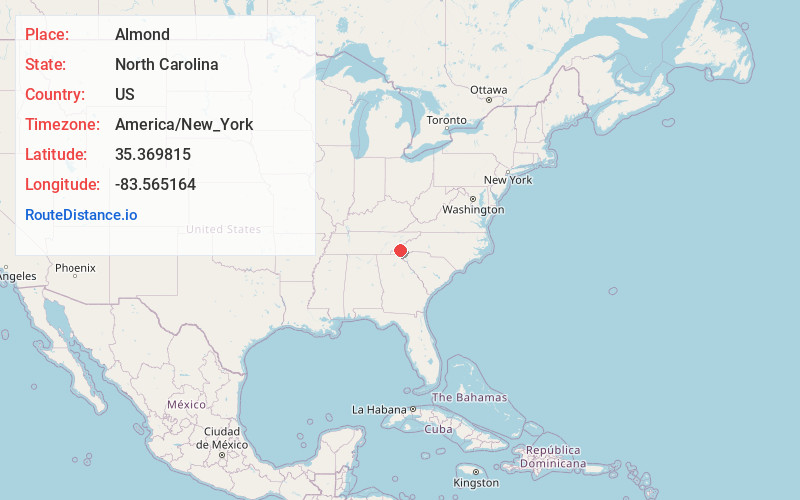
Almond
North Carolina
US
America/New_York
Location Information
-
Full AddressAlmond, NC 28713
-
Coordinates35.3698153, -83.565164
-
LocationAlmond , North Carolina , US
-
TimezoneAmerica/New_York
-
Current Local Time11:02:02 PM America/New_YorkFriday, May 2, 2025
-
Page Views0
Directions to Nearest Cities
About Almond
Almond is an unincorporated community in Swain County, North Carolina, United States. Almond is located on the Little Tennessee River and North Carolina Highway 28 7.9 miles west-southwest of Bryson City.


Nearby Places
Found 10 places within 50 miles

Wesser
2.9 mi
4.7 km
Wesser, NC 28713
Get directions

Carson Mill
3.0 mi
4.8 km
Carson Mill, NC 28713
Get directions
Halls Ford
3.3 mi
5.3 km
Halls Ford, NC 28713
Get directions
Lauada
3.4 mi
5.5 km
Lauada, NC 28713
Get directions

Needmore
3.8 mi
6.1 km
Needmore, NC 28713
Get directions
De Hart Mill
4.6 mi
7.4 km
De Hart Mill, NC 28713
Get directions
Roundhill
4.8 mi
7.7 km
Roundhill, NC 28713
Get directions
Jackson Line
5.4 mi
8.7 km
Jackson Line, NC 28713
Get directions
Talc Mountain
5.8 mi
9.3 km
Talc Mountain, NC 28713
Get directions

Alarka
6.2 mi
10.0 km
Alarka, NC 28713
Get directions
Wesser
2.9 mi
4.7 km
Wesser, NC 28713
Carson Mill
3.0 mi
4.8 km
Carson Mill, NC 28713
Halls Ford
3.3 mi
5.3 km
Halls Ford, NC 28713
Lauada
3.4 mi
5.5 km
Lauada, NC 28713
Needmore
3.8 mi
6.1 km
Needmore, NC 28713
De Hart Mill
4.6 mi
7.4 km
De Hart Mill, NC 28713
Roundhill
4.8 mi
7.7 km
Roundhill, NC 28713
Jackson Line
5.4 mi
8.7 km
Jackson Line, NC 28713
Talc Mountain
5.8 mi
9.3 km
Talc Mountain, NC 28713
Alarka
6.2 mi
10.0 km
Alarka, NC 28713
Location Links
Local Weather
Weather Information
Coming soon!
Location Map
Static map view of Almond, North Carolina
Browse Places by Distance
Places within specific distances from Almond
Short Distances
Long Distances
Click any distance to see all places within that range from Almond. Distances shown in miles (1 mile ≈ 1.61 kilometers).