Distance to Lauada, North Carolina

Calculating Your Route
Just a moment while we process your request...
Location Information
-
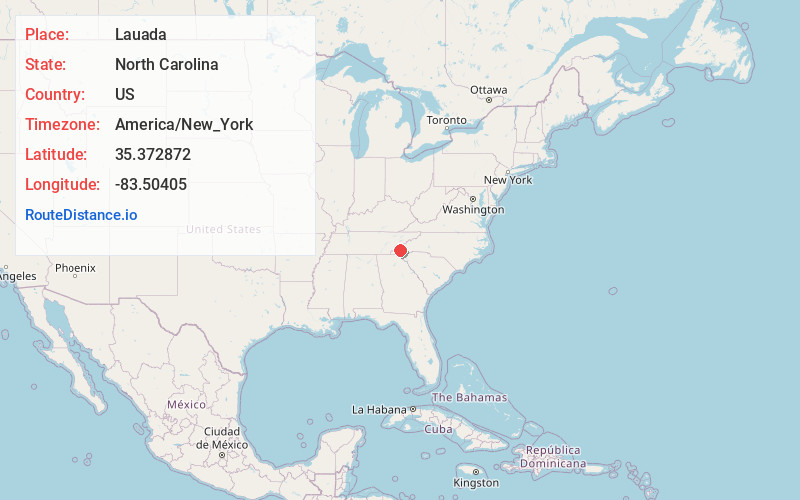
Full AddressLauada, NC 28713
-
Coordinates35.3728722, -83.5040498
-
LocationNorth Carolina , US
-
TimezoneAmerica/New_York
-
Current Local Time5:23:29 AM America/New_YorkWednesday, June 18, 2025
-
Page Views0
About Lauada
Lauada is an unincorporated community in Swain County, North Carolina, United States. Lauada is located at the junction of U.S. Route 19, U.S. Route 74, and North Carolina Highway 28 5.1 miles southwest of Bryson City. The SCC Swain Center, a satellite location of Southwestern Community College, is located here.
Nearby Places
Found 10 places within 50 miles

De Hart Mill
1.6 mi
2.6 km
De Hart Mill, NC 28713
Get directions

Alarka
2.8 mi
4.5 km
Alarka, NC 28713
Get directions
Franklin Grove
4.9 mi
7.9 km
Franklin Grove, NC 28713
Get directions

Bryson City
5.1 mi
8.2 km
Bryson City, NC 28713
Get directions

Wesser
5.6 mi
9.0 km
Wesser, NC 28713
Get directions
Stiles
6.5 mi
10.5 km
Stiles, NC 28734
Get directions
Tellico
6.8 mi
10.9 km
Tellico, NC 28734
Get directions
Burnett Fields
8.0 mi
12.9 km
Burnett Fields, NC 28734
Get directions

Ela
8.3 mi
13.4 km
Ela, NC 28713
Get directions
Big Laurel
8.9 mi
14.3 km
Big Laurel, NC 28713
Get directions
Location Links
Local Weather
Weather Information
Coming soon!
Location Map
Static map view of Lauada, North Carolina
Browse Places by Distance
Places within specific distances from Lauada
Short Distances
Long Distances
Click any distance to see all places within that range from Lauada. Distances shown in miles (1 mile ≈ 1.61 kilometers).