Distance to and from Ela, North Carolina
Ela, NC 28713
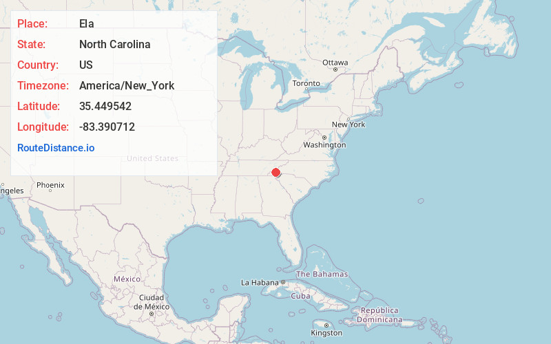
Ela
North Carolina
US
America/New_York
Location Information
-
Full AddressEla, NC 28713
-
Coordinates35.4495415, -83.3907115
-
LocationEla , North Carolina , US
-
TimezoneAmerica/New_York
-
Current Local Time11:00:06 AM America/New_YorkSaturday, May 3, 2025
-
Page Views0
Directions to Nearest Cities
About Ela
Ela is an unincorporated community in Swain County, North Carolina, United States, located along US 19, northwest of Whittier and east of Bryson City. The name is derived from ᎡᎳᏬᏗ in the Cherokee language, which translates as "yellow hill."


Nearby Places
Found 10 places within 50 miles

Whittier
2.2 mi
3.5 km
Whittier, NC 28789
Get directions

Bryson City
3.4 mi
5.5 km
Bryson City, NC 28713
Get directions

Qualla
3.9 mi
6.3 km
Qualla, NC 28789
Get directions
Franklin Grove
4.2 mi
6.8 km
Franklin Grove, NC 28713
Get directions

Cherokee
4.4 mi
7.1 km
Cherokee, NC
Get directions
Olivet
5.3 mi
8.5 km
Olivet, NC 28789
Get directions
De Hart Mill
6.8 mi
10.9 km
De Hart Mill, NC 28713
Get directions

Dillsboro
9.6 mi
15.4 km
Dillsboro, NC 28779
Get directions

Sylva
11.3 mi
18.2 km
Sylva, NC 28779
Get directions

Webster
12.0 mi
19.3 km
Webster, NC 28779
Get directions
Whittier
2.2 mi
3.5 km
Whittier, NC 28789
Bryson City
3.4 mi
5.5 km
Bryson City, NC 28713
Qualla
3.9 mi
6.3 km
Qualla, NC 28789
Franklin Grove
4.2 mi
6.8 km
Franklin Grove, NC 28713
Cherokee
4.4 mi
7.1 km
Cherokee, NC
Olivet
5.3 mi
8.5 km
Olivet, NC 28789
De Hart Mill
6.8 mi
10.9 km
De Hart Mill, NC 28713
Dillsboro
9.6 mi
15.4 km
Dillsboro, NC 28779
Sylva
11.3 mi
18.2 km
Sylva, NC 28779
Webster
12.0 mi
19.3 km
Webster, NC 28779
Location Links
Local Weather
Weather Information
Coming soon!
Location Map
Static map view of Ela, North Carolina
Browse Places by Distance
Places within specific distances from Ela
Short Distances
Long Distances
Click any distance to see all places within that range from Ela. Distances shown in miles (1 mile ≈ 1.61 kilometers).