Distance to Alsen, South Dakota

Calculating Your Route
Just a moment while we process your request...
Location Information
-
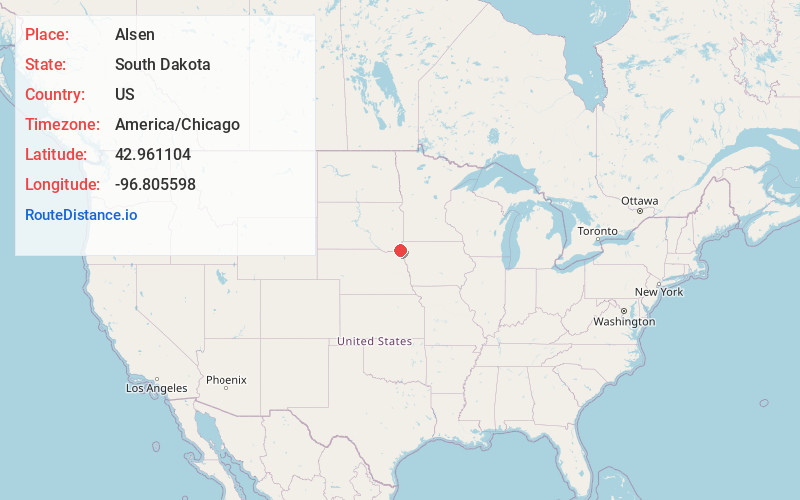
Full AddressAlsen, SD 57004
-
Coordinates42.961104, -96.8055983
-
LocationAlsen , South Dakota , US
-
TimezoneAmerica/Chicago
-
Current Local Time6:15:20 PM America/ChicagoTuesday, June 17, 2025
-
Page Views0
About Alsen
Alsen is an unincorporated community in Union County, South Dakota, United States. It is located nine miles southwest of Beresford and is on the border between Clay and Union counties.
Nearby Places
Found 10 places within 50 miles

Hill Side
1.8 mi
2.9 km
Hill Side, Emmet Township, SD 57004
Get directions
Dalesburg
5.1 mi
8.2 km
Dalesburg, SD 57004
Get directions
Nora
5.2 mi
8.4 km
Nora, SD 57001
Get directions
Greenfield
5.9 mi
9.5 km
Greenfield, SD 57010
Get directions

Beresford
8.4 mi
13.5 km
Beresford, SD 57004
Get directions
Lodi
9.1 mi
14.6 km
Lodi, Pleasant Valley Township, SD 57073
Get directions
Alcester
9.8 mi
15.8 km
Alcester, SD 57001
Get directions
Big Springs
10.1 mi
16.3 km
Big Springs, SD 57001
Get directions
Junction City
12.1 mi
19.5 km
Junction City, SD 57010
Get directions

Centerville
13.5 mi
21.7 km
Centerville, SD 57014
Get directions
Location Links
Local Weather
Weather Information
Coming soon!
Location Map
Static map view of Alsen, South Dakota
Browse Places by Distance
Places within specific distances from Alsen
Short Distances
Long Distances
Click any distance to see all places within that range from Alsen. Distances shown in miles (1 mile ≈ 1.61 kilometers).