Distance to Alsop, Virginia

Calculating Your Route
Just a moment while we process your request...
Location Information
-
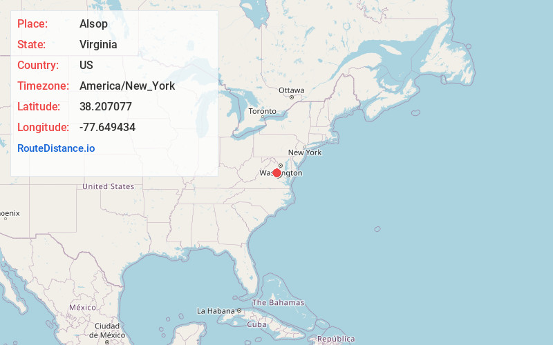
Full AddressAlsop, VA 22551
-
Coordinates38.2070765, -77.6494336
-
LocationAlsop , Virginia , US
-
TimezoneAmerica/New_York
-
Current Local Time3:27:35 PM America/New_YorkFriday, May 30, 2025
-
Page Views0
About Alsop
Alsop is an unincorporated community in Spotsylvania County in the U.S. state of Virginia. Alsop is located along Shady Grove Road to the west of Spotsylvania Courthouse.
Nearby Places
Found 10 places within 50 miles

Spotsylvania County
2.3 mi
3.7 km
Spotsylvania County, VA
Get directions

Todds Tavern
3.0 mi
4.8 km
Todds Tavern, VA 22553
Get directions
Snell
4.9 mi
7.9 km
Snell, VA 22551
Get directions
Chancellor
5.9 mi
9.5 km
Chancellor, VA 22407
Get directions
Panier
6.5 mi
10.5 km
Panier, VA 22551
Get directions
Hazel Grove
6.6 mi
10.6 km
Hazel Grove, VA 22553
Get directions
Cookstown
6.7 mi
10.8 km
Cookstown, VA 22553
Get directions
Smiths Mill
7.5 mi
12.1 km
Smiths Mill, VA 22407
Get directions
Parker
7.5 mi
12.1 km
Parker, VA 22508
Get directions
Penneys Crossroad
7.5 mi
12.1 km
Penneys Crossroad, VA 22534
Get directions
Location Links
Local Weather
Weather Information
Coming soon!
Location Map
Static map view of Alsop, Virginia
Browse Places by Distance
Places within specific distances from Alsop
Short Distances
Long Distances
Click any distance to see all places within that range from Alsop. Distances shown in miles (1 mile ≈ 1.61 kilometers).