Distance to Alta Loma, California

Calculating Your Route
Just a moment while we process your request...
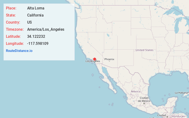
Location Information
-
Full AddressAlta Loma, Rancho Cucamonga, CA 91701
-
Coordinates34.1222317, -117.5981086
-
NeighborhoodAlta Loma
-
LocationRancho Cucamonga , California , US
-
TimezoneAmerica/Los_Angeles
-
Current Local Time8:37:34 AM America/Los_AngelesSunday, June 15, 2025
-
Page Views0
About Alta Loma
Alta Loma is one of three unincorporated areas that became part of the city of Rancho Cucamonga, California, United States in 1977. The community is located at 34.15°N 117.60°W in the foothills of the south face of the San Gabriel Mountain range, near Cucamonga Peak and Mount San Antonio.


Nearby Places
Found 10 places within 50 miles

Rancho Cucamonga
1.1 mi
1.8 km
Rancho Cucamonga, CA
Get directions

Upland
3.3 mi
5.3 km
Upland, CA
Get directions

San Antonio Heights
4.1 mi
6.6 km
San Antonio Heights, CA 91784
Get directions

Ontario
4.9 mi
7.9 km
Ontario, CA
Get directions

Montclair
6.1 mi
9.8 km
Montclair, CA
Get directions

Williams Canyon
6.4 mi
10.3 km
Williams Canyon, Claremont, CA 91711
Get directions

Narod
6.6 mi
10.6 km
Narod, CA 91762
Get directions

Claremont
7.2 mi
11.6 km
Claremont, CA
Get directions
Browns Flat
8.4 mi
13.5 km
Browns Flat, California 91711
Get directions

Mt Baldy
8.6 mi
13.8 km
Mt Baldy, CA 91759
Get directions
Location Links
Local Weather
Weather Information
Coming soon!
Location Map
Static map view of Alta Loma, California
Browse Places by Distance
Places within specific distances from Alta Loma
Short Distances
Long Distances
Click any distance to see all places within that range from Alta Loma. Distances shown in miles (1 mile ≈ 1.61 kilometers).