Distance to Mt Baldy, California

Calculating Your Route
Just a moment while we process your request...
Location Information
-
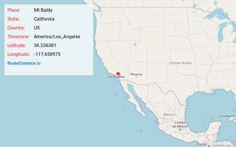
Full AddressMt Baldy, CA 91759
-
Coordinates34.2363809, -117.6589752
-
LocationMt Baldy , California , US
-
TimezoneAmerica/Los_Angeles
-
Current Local Time6:43:08 AM America/Los_AngelesWednesday, June 18, 2025
-
Page Views0
About Mt Baldy
Mount Baldy or Mount Baldy Village, formerly Camp Baynham and Camp Baldy, is an unincorporated community in the San Gabriel Mountains located in San Bernardino County and Los Angeles County in Southern California, with the county line running through the community.


Nearby Places
Found 10 places within 50 miles

San Antonio Heights
5.6 mi
9.0 km
San Antonio Heights, CA 91784
Get directions

Williams Canyon
6.7 mi
10.8 km
Williams Canyon, Claremont, CA 91711
Get directions

Wrightwood
8.7 mi
14.0 km
Wrightwood, CA
Get directions

Lytle Creek
9.4 mi
15.1 km
Lytle Creek, CA 92358
Get directions

Upland
9.6 mi
15.4 km
Upland, CA
Get directions

Rancho Cucamonga
9.7 mi
15.6 km
Rancho Cucamonga, CA
Get directions

Claremont
10.3 mi
16.6 km
Claremont, CA
Get directions

Montclair
11.1 mi
17.9 km
Montclair, CA
Get directions

La Verne
11.2 mi
18.0 km
La Verne, CA 91750
Get directions

Ontario
11.9 mi
19.2 km
Ontario, CA
Get directions
Location Links
Local Weather
Weather Information
Coming soon!
Location Map
Static map view of Mt Baldy, California
Browse Places by Distance
Places within specific distances from Mt Baldy
Short Distances
Long Distances
Click any distance to see all places within that range from Mt Baldy. Distances shown in miles (1 mile ≈ 1.61 kilometers).