Distance to and from Lytle Creek, California
Lytle Creek, CA 92358
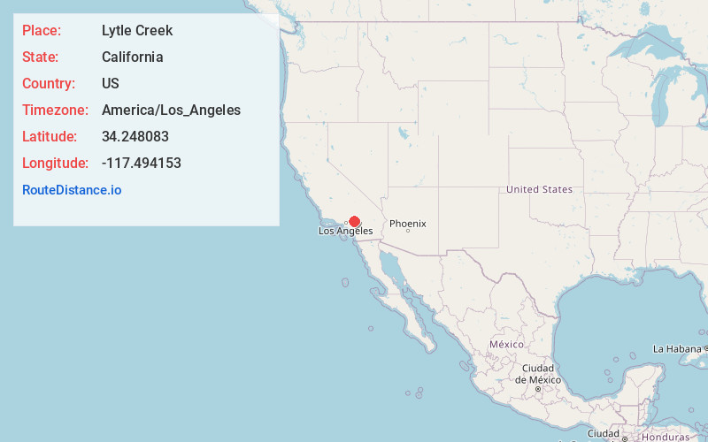
Lytle Creek
California
US
America/Los_Angeles
Location Information
-
Full AddressLytle Creek, CA 92358
-
Coordinates34.2480827, -117.4941528
-
LocationLytle Creek , California , US
-
TimezoneAmerica/Los_Angeles
-
Current Local Time11:31:26 PM America/Los_AngelesSunday, May 4, 2025
-
Page Views0
Directions to Nearest Cities
About Lytle Creek
Lytle Creek is a census-designated place in the San Gabriel Mountains, within San Bernardino County.
It is about 16 miles northwest of downtown San Bernardino and 10 miles from the cities of Fontana and Rialto.


Nearby Places
Found 10 places within 50 miles

Muscoy
10.7 mi
17.2 km
Muscoy, CA 92407
Get directions

Wrightwood
11.1 mi
17.9 km
Wrightwood, CA
Get directions

San Antonio Heights
11.3 mi
18.2 km
San Antonio Heights, CA 91784
Get directions

Fontana
11.3 mi
18.2 km
Fontana, CA
Get directions

Rancho Cucamonga
11.3 mi
18.2 km
Rancho Cucamonga, CA
Get directions

Crestline
11.9 mi
19.2 km
Crestline, CA
Get directions

Rialto
12.1 mi
19.5 km
Rialto, CA
Get directions

Oak Hills
12.8 mi
20.6 km
Oak Hills, CA
Get directions

Phelan
13.1 mi
21.1 km
Phelan, CA 92371
Get directions

Bloomington
13.5 mi
21.7 km
Bloomington, CA
Get directions
Muscoy
10.7 mi
17.2 km
Muscoy, CA 92407
Wrightwood
11.1 mi
17.9 km
Wrightwood, CA
San Antonio Heights
11.3 mi
18.2 km
San Antonio Heights, CA 91784
Fontana
11.3 mi
18.2 km
Fontana, CA
Rancho Cucamonga
11.3 mi
18.2 km
Rancho Cucamonga, CA
Crestline
11.9 mi
19.2 km
Crestline, CA
Rialto
12.1 mi
19.5 km
Rialto, CA
Oak Hills
12.8 mi
20.6 km
Oak Hills, CA
Phelan
13.1 mi
21.1 km
Phelan, CA 92371
Bloomington
13.5 mi
21.7 km
Bloomington, CA
Location Links
Local Weather
Weather Information
Coming soon!
Location Map
Static map view of Lytle Creek, California
Browse Places by Distance
Places within specific distances from Lytle Creek
Short Distances
Long Distances
Click any distance to see all places within that range from Lytle Creek. Distances shown in miles (1 mile ≈ 1.61 kilometers).