Distance to Wrightwood, California

Calculating Your Route
Just a moment while we process your request...
Location Information
-
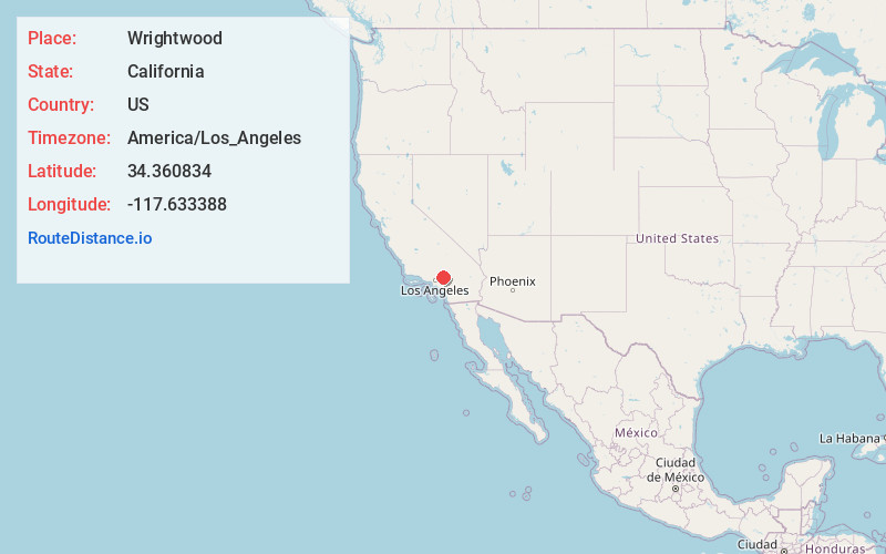
Full AddressWrightwood, CA
-
Coordinates34.3608341, -117.6333884
-
LocationWrightwood , California , US
-
TimezoneAmerica/Los_Angeles
-
Current Local Time12:11:11 AM America/Los_AngelesWednesday, June 18, 2025
-
Page Views0
About Wrightwood
Wrightwood is a census-designated place in San Bernardino County, California. It sits at an elevation of 6,208 feet. The population was 4,525 at the 2010 census, up from the population of 3,837 at the 2000 census. Wrightwood is located 77 miles northeast of Los Angeles. It is on the Pacific Crest Trail.


Nearby Places
Found 10 places within 50 miles

Phelan
5.7 mi
9.2 km
Phelan, CA 92371
Get directions

Oak Hills
12.2 mi
19.6 km
Oak Hills, CA
Get directions

Rancho Cucamonga
17.7 mi
28.5 km
Rancho Cucamonga, CA
Get directions

Upland
18.2 mi
29.3 km
Upland, CA
Get directions

Hesperia
18.6 mi
29.9 km
Hesperia, CA
Get directions

Claremont
18.9 mi
30.4 km
Claremont, CA
Get directions

La Verne
19.5 mi
31.4 km
La Verne, CA 91750
Get directions

Montclair
19.8 mi
31.9 km
Montclair, CA
Get directions

Adelanto
20.0 mi
32.2 km
Adelanto, CA
Get directions

San Dimas
20.2 mi
32.5 km
San Dimas, CA
Get directions
Location Links
Local Weather
Weather Information
Coming soon!
Location Map
Static map view of Wrightwood, California
Browse Places by Distance
Places within specific distances from Wrightwood
Short Distances
Long Distances
Click any distance to see all places within that range from Wrightwood. Distances shown in miles (1 mile ≈ 1.61 kilometers).