Distance to Alvarado, Texas

Calculating Your Route
Just a moment while we process your request...
Location Information
-
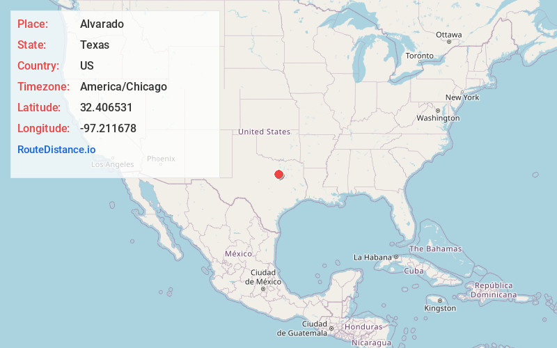
Full AddressAlvarado, TX 76009
-
Coordinates32.4065312, -97.2116782
-
LocationAlvarado , Texas , US
-
TimezoneAmerica/Chicago
-
Current Local Time8:59:08 AM America/ChicagoTuesday, June 24, 2025
-
Website
-
Page Views0
About Alvarado
Alvarado is the oldest city in Johnson County, Texas, United States. The population was 4,739 in 2020.
The community's first sheriff, A. H. Onstoott, is credited with naming Alvarado for Alvarado, Veracruz, Mexico, where he fought in a battle during the Mexican–American War.


Nearby Places
Found 10 places within 50 miles

Keene
6.6 mi
10.6 km
Keene, TX
Get directions

Venus
6.6 mi
10.6 km
Venus, TX
Get directions

Joshua
11.0 mi
17.7 km
Joshua, TX
Get directions

Cleburne
11.0 mi
17.7 km
Cleburne, TX
Get directions

Burleson
11.4 mi
18.3 km
Burleson, TX
Get directions

Mansfield
11.8 mi
19.0 km
Mansfield, TX
Get directions

Rendon
11.9 mi
19.2 km
Rendon, TX
Get directions

Midlothian
12.7 mi
20.4 km
Midlothian, TX
Get directions

Crowley
14.8 mi
23.8 km
Crowley, TX 76036
Get directions

Everman
16.2 mi
26.1 km
Everman, TX 76140
Get directions
Location Links
Local Weather
Weather Information
Coming soon!
Location Map
Static map view of Alvarado, Texas
Browse Places by Distance
Places within specific distances from Alvarado
Short Distances
Long Distances
Click any distance to see all places within that range from Alvarado. Distances shown in miles (1 mile ≈ 1.61 kilometers).