Distance to and from Ama, Louisiana
Ama, LA 70031
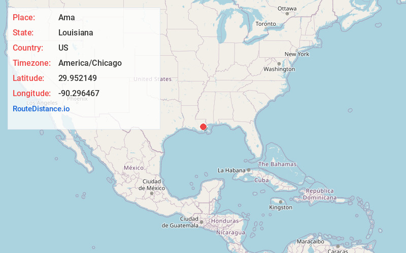
Ama
Louisiana
US
America/Chicago
Location Information
-
Full AddressAma, LA 70031
-
Coordinates29.9521491, -90.2964674
-
LocationAma , Louisiana , US
-
TimezoneAmerica/Chicago
-
Current Local Time11:38:10 AM America/ChicagoSaturday, May 3, 2025
-
Page Views0
Directions to Nearest Cities
About Ama
Ama is a census-designated place in St. Charles Parish, Louisiana, United States. Ama is on the West Bank of the Mississippi River, just west of the Jefferson Parish line. The population was 1,290 at the 2020 census.
Nearby Places
Found 10 places within 50 miles

St Rose
1.6 mi
2.6 km
St Rose, LA
Get directions

Destrehan
3.4 mi
5.5 km
Destrehan, LA
Get directions

Kenner
4.4 mi
7.1 km
Kenner, LA
Get directions

Luling
4.4 mi
7.1 km
Luling, LA
Get directions

River Ridge
4.9 mi
7.9 km
River Ridge, LA
Get directions

Waggaman
5.6 mi
9.0 km
Waggaman, LA 70094
Get directions

Harahan
5.6 mi
9.0 km
Harahan, LA 70123
Get directions

Avondale
6.2 mi
10.0 km
Avondale, LA
Get directions

Elmwood
6.4 mi
10.3 km
Elmwood, LA
Get directions

Boutte
6.5 mi
10.5 km
Boutte, LA
Get directions
St Rose
1.6 mi
2.6 km
St Rose, LA
Destrehan
3.4 mi
5.5 km
Destrehan, LA
Kenner
4.4 mi
7.1 km
Kenner, LA
Luling
4.4 mi
7.1 km
Luling, LA
River Ridge
4.9 mi
7.9 km
River Ridge, LA
Waggaman
5.6 mi
9.0 km
Waggaman, LA 70094
Harahan
5.6 mi
9.0 km
Harahan, LA 70123
Avondale
6.2 mi
10.0 km
Avondale, LA
Elmwood
6.4 mi
10.3 km
Elmwood, LA
Boutte
6.5 mi
10.5 km
Boutte, LA
Location Links
Local Weather
Weather Information
Coming soon!
Location Map
Static map view of Ama, Louisiana
Browse Places by Distance
Places within specific distances from Ama
Short Distances
Long Distances
Click any distance to see all places within that range from Ama. Distances shown in miles (1 mile ≈ 1.61 kilometers).