Distance to Amalga, Utah

Calculating Your Route
Just a moment while we process your request...
Location Information
-
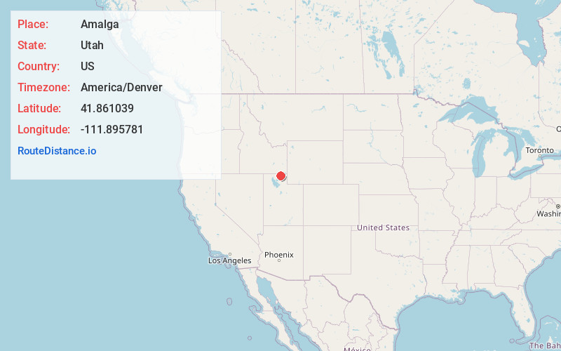
Full AddressAmalga, UT 84335
-
Coordinates41.861039, -111.8957808
-
LocationAmalga , Utah , US
-
TimezoneAmerica/Denver
-
Current Local Time2:02:23 AM America/DenverWednesday, June 18, 2025
-
Website
-
Page Views0
About Amalga
Amalga is a town in Cache County, Utah, United States. The population was 482 at the 2020 census. It is included in the Logan, Utah-Idaho Metropolitan Statistical Area.
Many of the town's population are dairy farmers, with many families owning their own herds. The town contains the Cache Valley Cheese plant.
Nearby Places
Found 10 places within 50 miles

Smithfield
3.6 mi
5.8 km
Smithfield, UT 84335
Get directions

Trenton
4.6 mi
7.4 km
Trenton, UT
Get directions

Newton
4.9 mi
7.9 km
Newton, UT
Get directions

Hyde Park
5.8 mi
9.3 km
Hyde Park, UT
Get directions

Richmond
6.0 mi
9.7 km
Richmond, UT 84333
Get directions

North Logan
7.9 mi
12.7 km
North Logan, UT 84341
Get directions

Benson
8.1 mi
13.0 km
Benson, UT
Get directions

Lewiston
8.2 mi
13.2 km
Lewiston, UT 84320
Get directions

Clarkston
8.9 mi
14.3 km
Clarkston, UT 84305
Get directions

Logan
9.1 mi
14.6 km
Logan, UT
Get directions
Location Links
Local Weather
Weather Information
Coming soon!
Location Map
Static map view of Amalga, Utah
Browse Places by Distance
Places within specific distances from Amalga
Short Distances
Long Distances
Click any distance to see all places within that range from Amalga. Distances shown in miles (1 mile ≈ 1.61 kilometers).