Distance to Ambar, Virginia

Calculating Your Route
Just a moment while we process your request...
Location Information
-
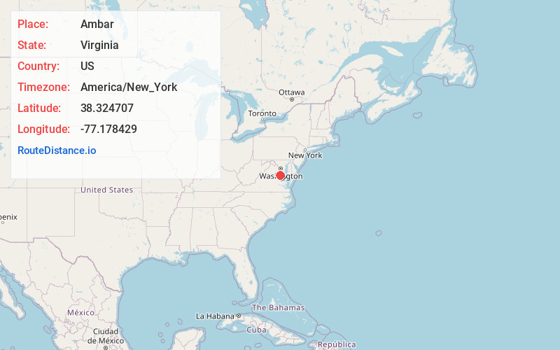
Full AddressAmbar, VA 22485
-
Coordinates38.3247069, -77.178429
-
LocationAmbar , Virginia , US
-
TimezoneAmerica/New_York
-
Current Local Time6:03:16 AM America/New_YorkThursday, July 3, 2025
-
Page Views0
About Ambar
Ambar is an unincorporated community in King George County, Virginia, United States.
Eagle's Nest was listed on the National Register of Historic Places in 1992.
Nearby Places
Found 10 places within 50 miles

Fairview Beach
3.7 mi
6.0 km
Fairview Beach, VA 22485
Get directions

King George
4.0 mi
6.4 km
King George, VA 22485
Get directions

Chestnut Hill
4.0 mi
6.4 km
Chestnut Hill, VA 22485
Get directions

Dahlgren
6.9 mi
11.1 km
Dahlgren, VA 22485
Get directions
Passapatanzy
7.9 mi
12.7 km
Passapatanzy, VA 22485
Get directions
Moss Neck
9.7 mi
15.6 km
Moss Neck, VA 22408
Get directions

Port Royal
10.6 mi
17.1 km
Port Royal, VA 22535
Get directions

Colonial Beach
12.6 mi
20.3 km
Colonial Beach, VA 22443
Get directions
Oak Grove
13.9 mi
22.4 km
Oak Grove, VA 22443
Get directions

Stafford
14.2 mi
22.9 km
Stafford, VA 22554
Get directions
Location Links
Local Weather
Weather Information
Coming soon!
Location Map
Static map view of Ambar, Virginia
Browse Places by Distance
Places within specific distances from Ambar
Short Distances
Long Distances
Click any distance to see all places within that range from Ambar. Distances shown in miles (1 mile ≈ 1.61 kilometers).