Distance to Amber, Nevada

Calculating Your Route
Just a moment while we process your request...
Location Information
-
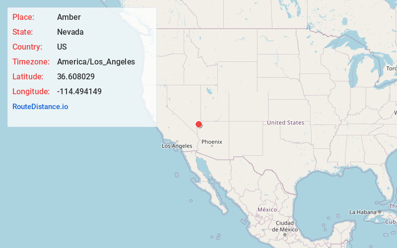
Full AddressAmber, NV 89021
-
Coordinates36.6080293, -114.4941492
-
LocationAmber , Nevada , US
-
TimezoneAmerica/Los_Angeles
-
Current Local Time9:07:44 PM America/Los_AngelesTuesday, June 17, 2025
-
Page Views0
Nearby Places
Found 10 places within 50 miles

Moapa Valley
2.3 mi
3.7 km
Moapa Valley, NV
Get directions

Jackman
3.5 mi
5.6 km
Jackman, NV 89021
Get directions
Glendale
5.5 mi
8.9 km
Glendale, NV 89025
Get directions

Moapa
8.0 mi
12.9 km
Moapa, NV 89025
Get directions

Ute
12.6 mi
20.3 km
Ute, NV
Get directions

Echo Bay
21.0 mi
33.8 km
Echo Bay, NV 89040
Get directions

Dry Lake
22.0 mi
35.4 km
Dry Lake, NV
Get directions

Bunkerville
23.3 mi
37.5 km
Bunkerville, NV
Get directions
Hoya
25.0 mi
40.2 km
Hoya, NV 89008
Get directions

Mesquite
27.3 mi
43.9 km
Mesquite, NV
Get directions
Location Links
Local Weather
Weather Information
Coming soon!
Location Map
Static map view of Amber, Nevada
Browse Places by Distance
Places within specific distances from Amber
Short Distances
Long Distances
Click any distance to see all places within that range from Amber. Distances shown in miles (1 mile ≈ 1.61 kilometers).