Distance to Moapa, Nevada

Calculating Your Route
Just a moment while we process your request...
Location Information
-
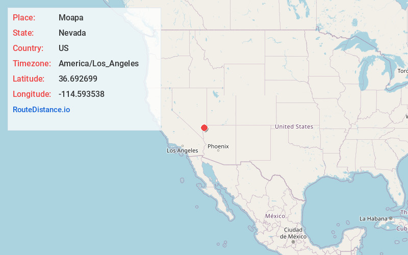
Full AddressMoapa, NV 89025
-
Coordinates36.6926986, -114.5935384
-
LocationMoapa , Nevada , US
-
TimezoneAmerica/Los_Angeles
-
Current Local Time7:26:52 AM America/Los_AngelesFriday, May 30, 2025
-
Page Views0
About Moapa
Moapa is an unincorporated town and census-designated place in Clark County, Nevada, United States. The population was 1,025 at the 2010 census. It is the largest town in Clark County by land area.


Nearby Places
Found 9 places within 50 miles

Moapa Valley
10.3 mi
16.6 km
Moapa Valley, NV
Get directions

Bunkerville
26.4 mi
42.5 km
Bunkerville, NV
Get directions

Mesquite
30.2 mi
48.6 km
Mesquite, NV
Get directions

Scenic
33.2 mi
53.4 km
Scenic, AZ 86432
Get directions

Beaver Dam
39.5 mi
63.6 km
Beaver Dam, AZ 86432
Get directions

Sunrise Manor
42.6 mi
68.6 km
Sunrise Manor, NV
Get directions

Las Vegas
47.1 mi
75.8 km
Las Vegas, NV
Get directions

Whitney
48.1 mi
77.4 km
Whitney, NV
Get directions

Winchester
48.2 mi
77.6 km
Winchester, NV
Get directions
Location Links
Local Weather
Weather Information
Coming soon!
Location Map
Static map view of Moapa, Nevada
Browse Places by Distance
Places within specific distances from Moapa
Short Distances
Long Distances
Click any distance to see all places within that range from Moapa. Distances shown in miles (1 mile ≈ 1.61 kilometers).