Distance to and from Ambia, Indiana
Ambia, IN 47917
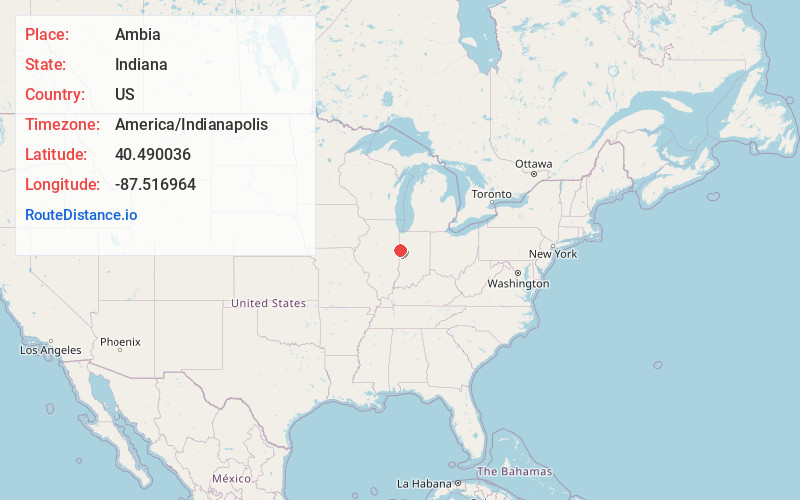
Ambia
Indiana
US
America/Indianapolis
Location Information
-
Full AddressAmbia, IN 47917
-
Coordinates40.4900363, -87.5169642
-
LocationAmbia , Indiana , US
-
TimezoneAmerica/Indianapolis
-
Website
-
Page Views0
Directions to Nearest Cities
About Ambia
Ambia is a town in Hickory Grove Township, Benton County, Indiana, United States. The population was 227 at the 2020 census. It is part of the Lafayette, Indiana Metropolitan Statistical Area.
Nearby Places
Found 10 places within 50 miles

Boswell
7.6 mi
12.2 km
Boswell, IN 47921
Get directions

Hoopeston
8.1 mi
13.0 km
Hoopeston, IL
Get directions
Wellington
9.2 mi
14.8 km
Wellington, IL 60973
Get directions

Rossville
11.1 mi
17.9 km
Rossville, IL
Get directions
Milford
13.4 mi
21.6 km
Milford, IL 60953
Get directions

Fowler
13.5 mi
21.7 km
Fowler, IN 47944
Get directions

Pine Village
14.1 mi
22.7 km
Pine Village, IN 47975
Get directions

Oxford
14.3 mi
23.0 km
Oxford, IN 47971
Get directions

Earl Park
14.4 mi
23.2 km
Earl Park, IN 47942
Get directions
East Lynn
15.0 mi
24.1 km
East Lynn, IL
Get directions
Boswell
7.6 mi
12.2 km
Boswell, IN 47921
Hoopeston
8.1 mi
13.0 km
Hoopeston, IL
Wellington
9.2 mi
14.8 km
Wellington, IL 60973
Rossville
11.1 mi
17.9 km
Rossville, IL
Milford
13.4 mi
21.6 km
Milford, IL 60953
Fowler
13.5 mi
21.7 km
Fowler, IN 47944
Pine Village
14.1 mi
22.7 km
Pine Village, IN 47975
Oxford
14.3 mi
23.0 km
Oxford, IN 47971
Earl Park
14.4 mi
23.2 km
Earl Park, IN 47942
East Lynn
15.0 mi
24.1 km
East Lynn, IL
Location Links
Local Weather
Weather Information
Coming soon!
Location Map
Static map view of Ambia, Indiana
Browse Places by Distance
Places within specific distances from Ambia
Short Distances
Long Distances
Click any distance to see all places within that range from Ambia. Distances shown in miles (1 mile ≈ 1.61 kilometers).