Distance to Earl Park, Indiana

Calculating Your Route
Just a moment while we process your request...
Location Information
-
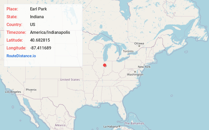
Full AddressEarl Park, IN 47942
-
Coordinates40.6828154, -87.4116891
-
LocationEarl Park , Indiana , US
-
TimezoneAmerica/Indianapolis
-
Website
-
Page Views0
About Earl Park
Earl Park is a town in Richland Township, Benton County, Indiana, United States. The population was 362 at the 2022 census. It is part of the Lafayette, Indiana Metropolitan Statistical Area.

Nearby Places
Found 10 places within 50 miles

Kentland
6.3 mi
10.1 km
Kentland, IN 47951
Get directions

Fowler
6.6 mi
10.6 km
Fowler, IN 47944
Get directions

Goodland
8.3 mi
13.4 km
Goodland, IN 47948
Get directions

Sheldon
10.0 mi
16.1 km
Sheldon, IL 60966
Get directions

Boswell
11.3 mi
18.2 km
Boswell, IN 47921
Get directions

Brook
12.9 mi
20.8 km
Brook, IN 47922
Get directions

Oxford
14.2 mi
22.9 km
Oxford, IN 47971
Get directions

Remington
14.7 mi
23.7 km
Remington, IN
Get directions

Milford
15.4 mi
24.8 km
Milford, IL 60953
Get directions

Watseka
18.2 mi
29.3 km
Watseka, IL 60970
Get directions
Location Links
Local Weather
Weather Information
Coming soon!
Location Map
Static map view of Earl Park, Indiana
Browse Places by Distance
Places within specific distances from Earl Park
Short Distances
Long Distances
Click any distance to see all places within that range from Earl Park. Distances shown in miles (1 mile ≈ 1.61 kilometers).