Distance to and from Amelia, Nebraska
Amelia, NE 68711
Amelia
Nebraska
US
America/Chicago
Location Information
-
Full AddressAmelia, NE 68711
-
Coordinates42.2353439, -98.9124375
-
LocationAmelia , Nebraska , US
-
TimezoneAmerica/Chicago
-
Current Local Time1:12:00 PM America/ChicagoSaturday, May 3, 2025
-
Page Views0
Directions to Nearest Cities
About Amelia
Amelia is an unincorporated community in southwestern Holt County, Nebraska, United States. It lies along local roads near Nebraska Highways 11 and 95, southwest of the city of O'Neill, the county seat of Holt County. The community is named for Amelia A. Bliss.


Nearby Places
Found 10 places within 50 miles

Swan Lake
7.2 mi
11.6 km
Swan Lake, Swan Township, NE 68711
Get directions
Chambers
8.6 mi
13.8 km
Chambers, NE 68725
Get directions
Emmet
17.5 mi
28.2 km
Emmet, NE 68734
Get directions

O'Neill
20.5 mi
33.0 km
O'Neill, NE 68763
Get directions
Atkinson
20.7 mi
33.3 km
Atkinson, NE 68713
Get directions
Gables
20.8 mi
33.5 km
Gables, Roosevelt Precinct, NE 68823
Get directions

Inman
22.0 mi
35.4 km
Inman, NE 68742
Get directions
Stafford
24.6 mi
39.6 km
Stafford, Golden Township, NE 68735
Get directions
Deverre
25.3 mi
40.7 km
Deverre, Willow Springs Precinct, NE 68823
Get directions
Page
27.8 mi
44.7 km
Page, NE 68766
Get directions
Swan Lake
7.2 mi
11.6 km
Swan Lake, Swan Township, NE 68711
Chambers
8.6 mi
13.8 km
Chambers, NE 68725
Emmet
17.5 mi
28.2 km
Emmet, NE 68734
O'Neill
20.5 mi
33.0 km
O'Neill, NE 68763
Atkinson
20.7 mi
33.3 km
Atkinson, NE 68713
Gables
20.8 mi
33.5 km
Gables, Roosevelt Precinct, NE 68823
Inman
22.0 mi
35.4 km
Inman, NE 68742
Stafford
24.6 mi
39.6 km
Stafford, Golden Township, NE 68735
Deverre
25.3 mi
40.7 km
Deverre, Willow Springs Precinct, NE 68823
Page
27.8 mi
44.7 km
Page, NE 68766
Location Links
Local Weather
Weather Information
Coming soon!
Location Map
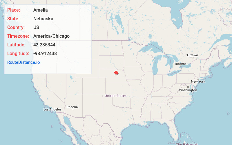
Static map view of Amelia, Nebraska
Browse Places by Distance
Places within specific distances from Amelia
Short Distances
Long Distances
Click any distance to see all places within that range from Amelia. Distances shown in miles (1 mile ≈ 1.61 kilometers).