Distance to Gables, Nebraska

Calculating Your Route
Just a moment while we process your request...
Location Information
-
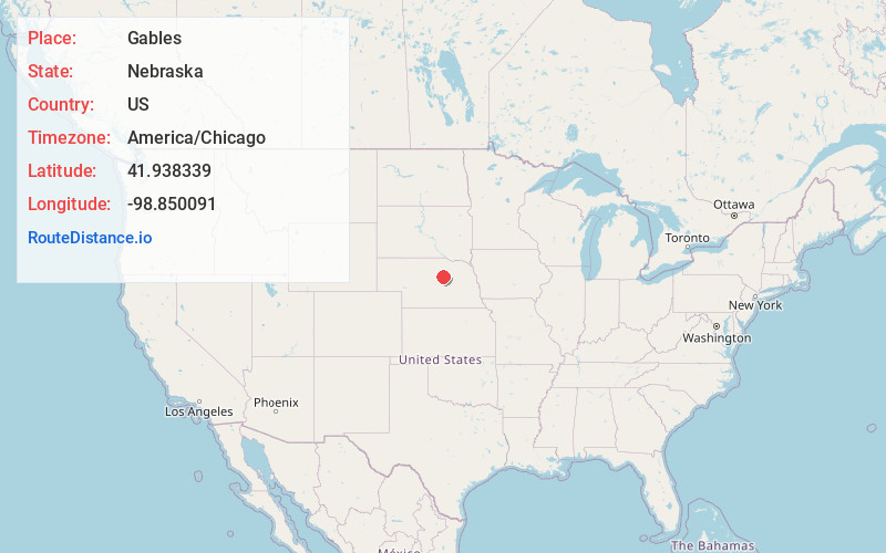
Full AddressGables, Roosevelt Precinct, NE 68823
-
Coordinates41.9383393, -98.8500909
-
LocationRoosevelt Precinct , Nebraska , US
-
TimezoneAmerica/Chicago
-
Current Local Time2:06:15 PM America/ChicagoFriday, June 20, 2025
-
Page Views0
About Gables
Gables is an unincorporated community in Garfield County, Nebraska, United States. Its elevation is 2,169 feet. It lies northeast of the city of Burwell, which is the county seat.
Nearby Places
Found 10 places within 50 miles

Deverre
12.6 mi
20.3 km
Deverre, Willow Springs Precinct, NE 68823
Get directions

Ericson
14.1 mi
22.7 km
Ericson, NE 68637
Get directions

Bartlett
15.7 mi
25.3 km
Bartlett, NE 68622
Get directions

Burwell
18.1 mi
29.1 km
Burwell, NE 68823
Get directions
Chambers
19.1 mi
30.7 km
Chambers, NE 68725
Get directions

Elyria
19.5 mi
31.4 km
Elyria, NE 68837
Get directions
Ord
23.4 mi
37.7 km
Ord, NE
Get directions
Belfast
24.0 mi
38.6 km
Belfast, Greeley Precinct, NE 68842
Get directions

Taylor
29.6 mi
47.6 km
Taylor, NE
Get directions
Spalding
30.4 mi
48.9 km
Spalding, NE 68665
Get directions
Location Links
Local Weather
Weather Information
Coming soon!
Location Map
Static map view of Gables, Nebraska
Browse Places by Distance
Places within specific distances from Gables
Short Distances
Long Distances
Click any distance to see all places within that range from Gables. Distances shown in miles (1 mile ≈ 1.61 kilometers).