Distance to American Fork, Utah

Calculating Your Route
Just a moment while we process your request...
Location Information
-
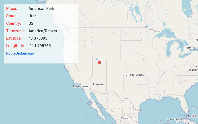
Full AddressAmerican Fork, UT 84003
-
Coordinates40.3768954, -111.7957645
-
LocationAmerican Fork , Utah , US
-
TimezoneAmerica/Denver
-
Current Local Time11:46:48 PM America/DenverTuesday, June 17, 2025
-
Page Views0
About American Fork
American Fork is a city in north-central Utah County, Utah, United States, at the foot of Mount Timpanogos in the Wasatch Range, north from Utah Lake. This city is thirty-two miles southeast of Salt Lake City. It is part of the Provo–Orem Metropolitan Statistical Area. The population was 33,337 in 2020.


Nearby Places
Found 10 places within 50 miles

Lehi
3.1 mi
5.0 km
Lehi, UT
Get directions

Pleasant Grove
3.1 mi
5.0 km
Pleasant Grove, UT
Get directions

Saratoga Springs
6.6 mi
10.6 km
Saratoga Springs, UT
Get directions

Orem
7.7 mi
12.4 km
Orem, UT
Get directions

Draper
10.8 mi
17.4 km
Draper, UT
Get directions

Eagle Mountain
11.9 mi
19.2 km
Eagle Mountain, UT
Get directions

Provo
12.0 mi
19.3 km
Provo, UT
Get directions

Riverton
12.5 mi
20.1 km
Riverton, UT
Get directions

Sandy
13.2 mi
21.2 km
Sandy, UT
Get directions

South Jordan
14.6 mi
23.5 km
South Jordan, UT
Get directions
Location Links
Local Weather
Weather Information
Coming soon!
Location Map
Static map view of American Fork, Utah
Browse Places by Distance
Places within specific distances from American Fork
Short Distances
Long Distances
Click any distance to see all places within that range from American Fork. Distances shown in miles (1 mile ≈ 1.61 kilometers).