Distance to Ames, Nebraska

Calculating Your Route
Just a moment while we process your request...
Location Information
-
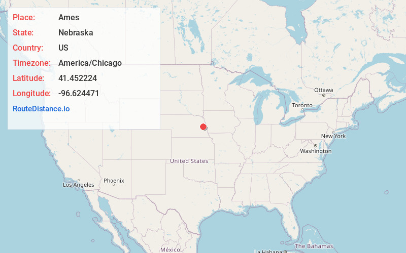
Full AddressAmes, NE 68621
-
Coordinates41.4522236, -96.6244714
-
LocationAmes , Nebraska , US
-
TimezoneAmerica/Chicago
-
Current Local Time9:38:10 PM America/ChicagoTuesday, June 17, 2025
-
Page Views0
About Ames
Ames is an unincorporated hamlet in southern Dodge County, Nebraska, United States. As of the 2010 census it had a population of 24.
Ames lies along U.S. Route 30, west of the city of Fremont, the county seat of Dodge County.
Nearby Places
Found 10 places within 50 miles

Cedar Bluffs
3.9 mi
6.3 km
Cedar Bluffs, NE 68015
Get directions

Fremont
6.7 mi
10.8 km
Fremont, NE 68025
Get directions

Inglewood
6.8 mi
10.9 km
Inglewood, NE 68025
Get directions
Morse Bluff
7.5 mi
12.1 km
Morse Bluff, NE 68648
Get directions

North Bend
8.1 mi
13.0 km
North Bend, NE 68649
Get directions

Nickerson
9.8 mi
15.8 km
Nickerson, NE 68044
Get directions

Colon
10.7 mi
17.2 km
Colon, NE 68018
Get directions

Hooper
11.6 mi
18.7 km
Hooper, NE 68031
Get directions
Fontanelle
11.8 mi
19.0 km
Fontanelle, NE 68044
Get directions

Winslow
12.5 mi
20.1 km
Winslow, NE
Get directions
Location Links
Local Weather
Weather Information
Coming soon!
Location Map
Static map view of Ames, Nebraska
Browse Places by Distance
Places within specific distances from Ames
Short Distances
Long Distances
Click any distance to see all places within that range from Ames. Distances shown in miles (1 mile ≈ 1.61 kilometers).