Distance to Cedar Bluffs, Nebraska

Calculating Your Route
Just a moment while we process your request...
Location Information
-
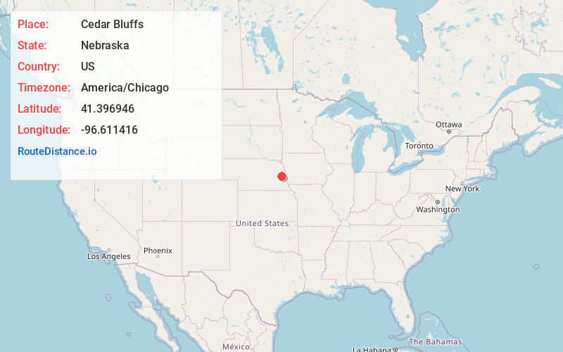
Full AddressCedar Bluffs, NE 68015
-
Coordinates41.3969461, -96.6114157
-
LocationCedar Bluffs , Nebraska , US
-
TimezoneAmerica/Chicago
-
Current Local Time12:32:31 PM America/ChicagoThursday, May 22, 2025
-
Page Views0
About Cedar Bluffs
Cedar Bluffs is a village in Saunders County, Nebraska, United States. The population was 615 at the 2020 census. Cedar Bluffs was a point on the Mormon, Oregon, and California Trails.

Nearby Places
Found 10 places within 50 miles

Fremont
6.4 mi
10.3 km
Fremont, NE 68025
Get directions

North Bend
9.8 mi
15.8 km
North Bend, NE 68649
Get directions

Wahoo
12.8 mi
20.6 km
Wahoo, NE
Get directions

Arlington
13.7 mi
22.0 km
Arlington, NE 68002
Get directions

Valley
14.9 mi
24.0 km
Valley, NE
Get directions

Hooper
15.1 mi
24.3 km
Hooper, NE 68031
Get directions
Yutan
15.3 mi
24.6 km
Yutan, NE 68073
Get directions

Waterloo
18.4 mi
29.6 km
Waterloo, NE 68069
Get directions

Scribner
18.8 mi
30.3 km
Scribner, NE 68057
Get directions

Schuyler
23.5 mi
37.8 km
Schuyler, NE 68661
Get directions
Location Links
Local Weather
Weather Information
Coming soon!
Location Map
Static map view of Cedar Bluffs, Nebraska
Browse Places by Distance
Places within specific distances from Cedar Bluffs
Short Distances
Long Distances
Click any distance to see all places within that range from Cedar Bluffs. Distances shown in miles (1 mile ≈ 1.61 kilometers).